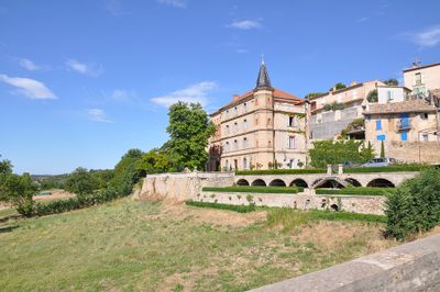
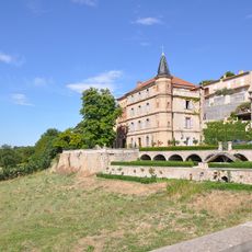
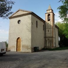
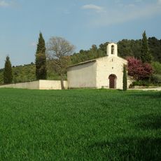
Valensole, Agricultural commune in Alpes-de-Haute-Provence, France
Valensole is an agricultural commune on the Valensole Plateau in Alpes-de-Haute-Provence, defined by vast lavender cultivation. The settlement sits at roughly 595 meters elevation with gentle terrain, bounded by the Asse and Durance river systems.
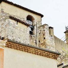
The area took shape during Tertiary geological events that also formed the Pyrenees, leaving behind distinctive rock and pebble deposits. These natural conditions later enabled the development of agriculture, particularly lavender farming that continues today.
Lavender farming shapes the identity of this place and how locals connect with their land. The purple fields visible across the plateau represent generations of agricultural tradition and remain central to daily life here.
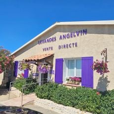
Visit during the lavender blooming season from June to August when the fields are at their most visually striking. A local market operates weekly with seasonal goods, local honey, and lavender-based products available year-round.
The name originates from Latin 'vallis' and 'solis', meaning 'valley of the sun', reflecting the area's southern exposure and warm climate. This naming captures the bright, sun-filled days that define the plateau throughout the year.
Location: Alpes-de-Haute-Provence
Location: arrondissement of Forcalquier
Elevation above the sea: 517 m
Shares border with: Allemagne-en-Provence, Brunet, Le Castellet, Gréoux-les-Bains, Manosque, Oraison, Riez, Saint-Martin-de-Brômes, Villeneuve, Volx
Phone: +33492748013
Email: mairie.valensole@wanadoo.fr
Website: https://valensole.fr
GPS coordinates: 43.83806,5.98389
Latest update: December 20, 2025 15:20
Château du Grand Jardin
426 m
Église Saint-Denis de Valensole
110 m
Église Sainte-Victoire de Volx
12.3 km
Grande Fontaine de Valensole
154 m
Aqua Game
9.3 km
Chapelle du Tholonet de Valensole
328 m
Chapelle Sainte-Marie-Madeleine de Villedieu de Valensole
10.2 km
Chapelle de la Tuilière
5.7 km
Église Sainte-Madeleine de Bars
7.7 kmScenic viewpoint
11.5 kmScenic viewpoint
10.8 kmScenic viewpoint
13.3 kmScenic viewpoint
13.1 kmScenic viewpoint
13.3 kmLavandes Angelvin
4 kmPhoto de lumière de Lavande
2.9 kmCipressi
2.6 kmObservatoire ornithologique
12.9 kmAtelier de l'ange mécanique
12.4 kmKairn
13.3 kmOratoire
11.2 kmMonument aux morts
235 mWayside shrine
302 mWayside cross
322 mWayside shrine
339 mWayside shrine
798 mRuins
5.3 kmRuins
5.3 kmVisited this place? Tap the stars to rate it and share your experience / photos with the community! Try now! You can cancel it anytime.
Discover hidden gems everywhere you go!
From secret cafés to breathtaking viewpoints, skip the crowded tourist spots and find places that match your style. Our app makes it easy with voice search, smart filtering, route optimization, and insider tips from travelers worldwide. Download now for the complete mobile experience.
A unique approach to discovering new places❞
— Le Figaro
All the places worth exploring❞
— France Info
A tailor-made excursion in just a few clicks❞
— 20 Minutes