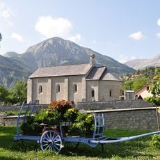
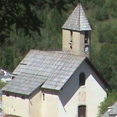
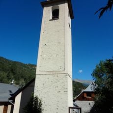
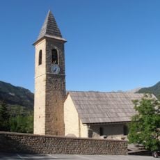
Allos, Mountain village at 1425 meters in Alpes-de-Haute-Provence, France
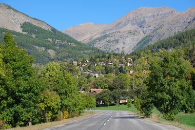
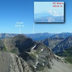
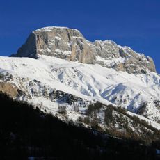
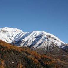
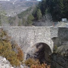
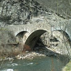
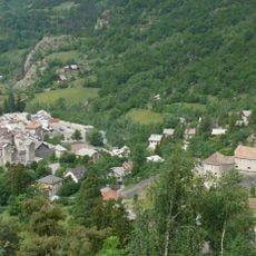
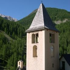
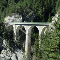
Allos is a mountain village in the Alpes-de-Haute-Provence situated on steep slopes at around 1425 meters elevation. It stretches across the Verdon Valley between Barcelonnette and Nice, positioned near the river source which rises at approximately 2500 meters.
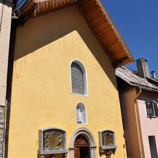
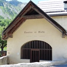
The settlement first appeared in documents from 1056 under the name 'ad Alodes'. Three significant fires damaged the community in 1718, 1747, and 1769.
The village maintains connections to both the Ubaye Valley and Provence regions, reflecting a dual cultural identity shaped by historical administrative boundaries. This duality appears in daily habits and how people relate to the surrounding landscapes.
The village is reached by the D908 road, which winds through the mountainous terrain and connects it to Barcelonnette in the north and Colmars in the south. Expect steep roads and changeable mountain weather at elevation.
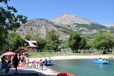
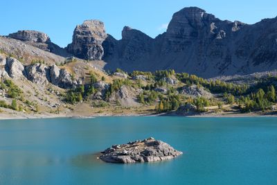
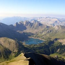
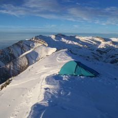
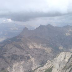
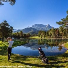
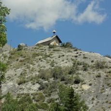
The territory includes Europe's largest natural high-altitude lake, Lake Allos, situated at 2230 meters within the Mercantour National Park boundaries. This body of water stands out as a remarkable natural feature visitors often discover during their exploration.
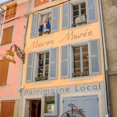
The community of curious travelers
AroundUs brings together thousands of curated places, local tips, and hidden gems, enriched daily by 60,000 contributors worldwide.