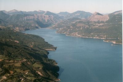
Lac de Serre-Ponçon, Artificial lake in Hautes-Alpes and Alpes-de-Haute-Provence, France.
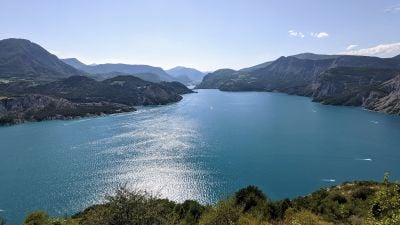
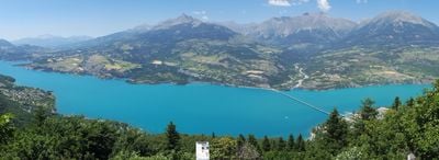
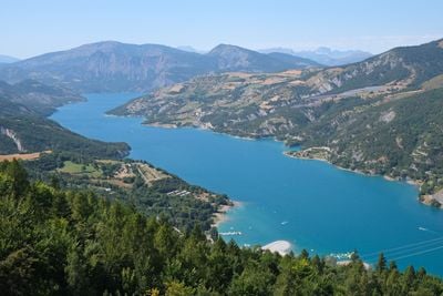
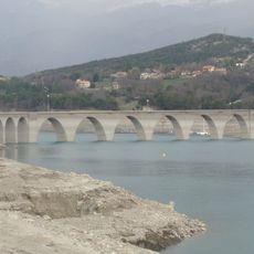
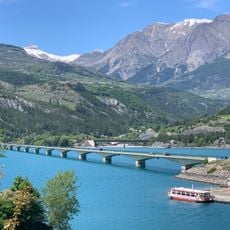
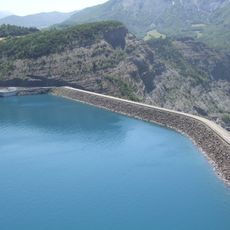
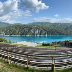
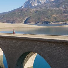
Lac de Serre-Ponçon is an artificial lake nestled between mountains in the Hautes-Alpes and Alpes-de-Haute-Provence departments, formed by damming the Durance and Ubaye rivers. The water surface covers approximately 28 square kilometers and forms one of the largest reservoirs in Europe.
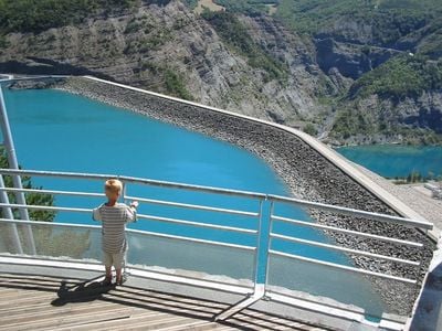
Construction of the dam began in 1955 following devastating floods in 1843 and 1856 and required relocating several villages before the project was completed in 1961. The flooding of the valley submerged roads and farmland beneath the water and created a new landscape among the Alps.
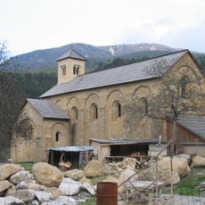
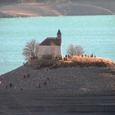
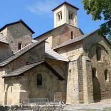
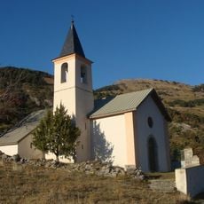
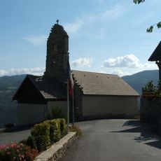
The Chapel Saint-Michel from the 12th century rises on an island within the lake and becomes reachable on foot when water levels drop. Visitors can see the Romanesque chapel, which was moved to higher ground before the valley flooded and now stands as a reminder of the past above the water.
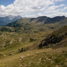
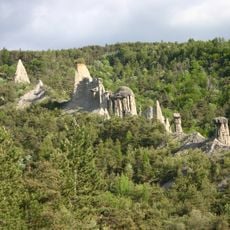
The water is usually warm enough for swimming during summer months, and several beaches line the shore. The surrounding area offers opportunities for sailing and fishing, and hiking trails lead to viewpoints overlooking the basin.
The dam structure reaches 123 meters (404 feet) in height and supplies water to a network of 15 additional hydroelectric plants along the Durance and Verdon rivers. When water levels drop, foundations of submerged buildings from the former villages sometimes emerge from the depths.
The community of curious travelers
AroundUs brings together thousands of curated places, local tips, and hidden gems, enriched daily by 60,000 contributors worldwide.