Beauvezer, Mountain commune in Alpes-de-Haute-Provence, France
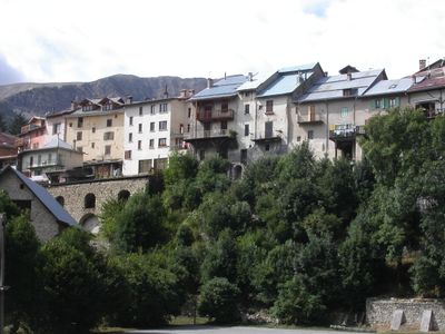
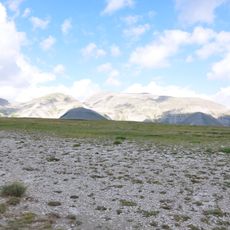
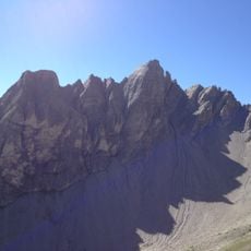
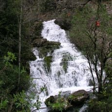
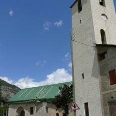
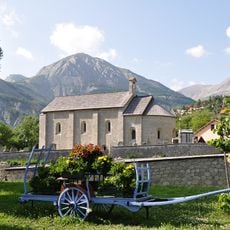
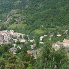
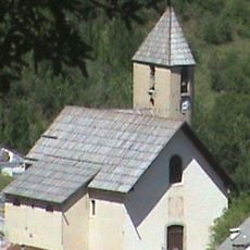
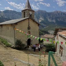
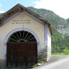
Beauvezer is a mountain commune in Alpes-de-Haute-Provence situated on a hilltop in the upper Verdon valley at about 1805 meters elevation. The settlement consists of stone buildings with traditional designs, surrounded by Alpine peaks and rocky terrain.
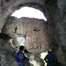
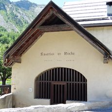
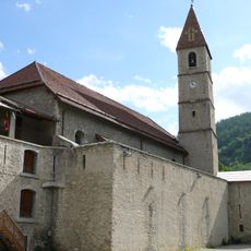
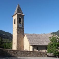
The village developed in medieval times as a mountain settlement and became an important textile production center through the mid-1800s, with a major cloth mill dominating local economic life. The decline of this industry changed the character of the place, though it left the older buildings intact.
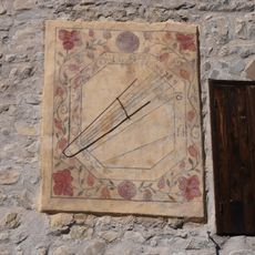
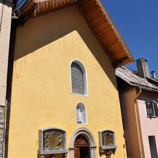
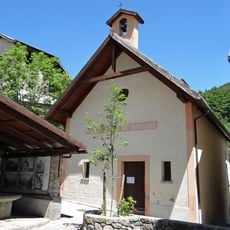
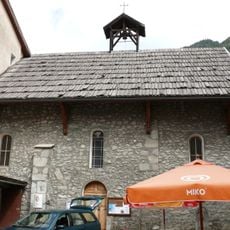
The old stone houses in the center display traditional Alpine building methods with wooden and wrought iron balconies that reflect how locals built their homes. Visitors can observe these details while walking through the narrow streets and see how each building follows similar design patterns.
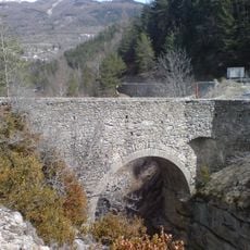
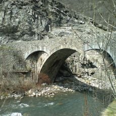
The village sits about 25 kilometers north of Saint-André-les-Alpes and is reached by mountain roads that connect the broader region together. Visitors should expect hilly terrain and potentially difficult road conditions during winter months.
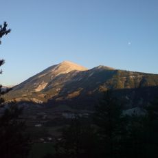
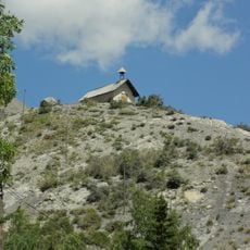
From the village, visitors enjoy a clear view of Grand Coyer mountain, whose peak rises above 2600 meters high. This peak serves as a striking landmark that helps orient those exploring the Alpine surroundings.
Location: canton of Allos-Colmars
Location: Alpes-de-Haute-Provence
Location: arrondissement of Castellane
Elevation above the sea: 1,638 m
Shares border with: Colmars, Thorame-Basse, Thorame-Haute, Villars-Colmars
Address: 04370 Beauvezer, France
Phone: +33492834061
Email: mairie@beauvezer.fr
Website: https://beauvezer.fr
GPS coordinates: 44.14361,6.59139
Latest update: December 10, 2025 16:23
Pont du Moulin
5.1 km
Grotte des Chamois
13.4 km
Grotte du Cul de Bœuf
10.4 km
Le Grand Coyer
9.2 km
Grotte du Trou-Madame
12.6 km
Aiguilles de Pelens
10 km
Cadran solaire de la maison communale
2.7 km
Grotte de Font Gaillarde
9.2 km
Montagne de Cordeil
9.8 km
Pont Haut
5.8 km
Pertuis de Méailles
12.7 km
Église Saint-Martin d'Entraunes
13.6 km
Église Notre-Dame-de-Valvert
10.9 km
Pont Saint-Roch
4.8 km
Chapelle Saint-Sébastien d'Allos
11.2 km
Chapelle Saint-Sébastien
13.5 km
Chapelle Saint-Thomas de Thorame-Basse
11.4 km
Enceinte de Colmars
5.1 km
Église Saint-Martin
5 km
Église Notre-Dame-de-la-Nativité
13.5 km
Maison-Musée du Haut-Verdon
5.1 km
Chapelle Saint-Pierre d'Allos
12.4 km
Église Saint-Laurent de Chavailles
10.6 km
Chapelle Notre-Dame-des-Grâces de Colmars
5 km
Église Saint-Sévère, Villars-Colmars
2.5 km
Chapelle Saint-Guilhem de Saint-Martin-d'Entraunes
13.7 km
Chapelle Notre-Dame-du-Rosaire d'Entraunes
13.5 km
Chapelle Saint-Joseph de Colmars
5.1 kmVisited this place? Tap the stars to rate it and share your experience / photos with the community! Try now! You can cancel it anytime.
Discover hidden gems everywhere you go!
From secret cafés to breathtaking viewpoints, skip the crowded tourist spots and find places that match your style. Our app makes it easy with voice search, smart filtering, route optimization, and insider tips from travelers worldwide. Download now for the complete mobile experience.
A unique approach to discovering new places❞
— Le Figaro
All the places worth exploring❞
— France Info
A tailor-made excursion in just a few clicks❞
— 20 Minutes