Enable Location

We need your location to show you interesting places around you

Discover nearby places

Find interesting locations and hidden gems around you

Precise directions

Get accurate directions and distances to places

Your location is never shared with other users. It's only used when you tap the location button.

Montagne de Cordeil

Log in to your account

Start exploring — it's free

Trusted by 63,016 travelers worldwide

Continue with Google
Continue with Apple
or

We will send you a code to connect

By continuing, you accept our Terms and Conditions and our Privacy Policy

Check your inbox

We've sent a pincode in your inbox. Please enter the code below.

Montagne de Cordeil
Discussion Reviews 1 Photos
500+ Popularity

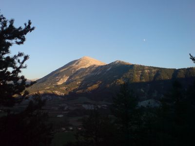
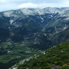
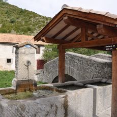
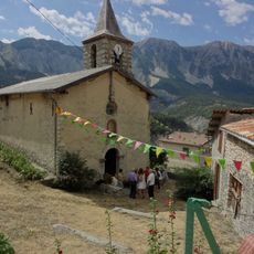
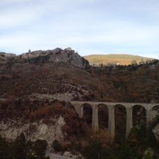
Montagne de Cordeil, Mountain summit in Alpes-de-Haute-Provence, France

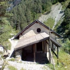
Montagne de Cordeil is a summit in the Alpes-de-Haute-Provence that rises between the Haut Verdon valley and the Issole stream, forming a triangular shape with its base oriented northward. A paragliding takeoff area is located at Petit Cordeil, situated at 1,780 meters elevation.

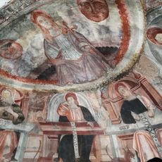
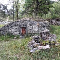
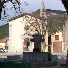
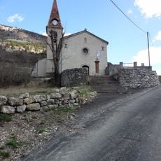
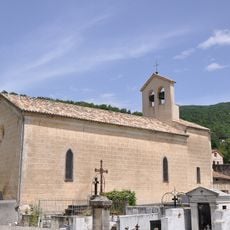
The peak has served across generations as a natural boundary marker between three municipalities, shaping the territorial organization of the Provence-Alpes region. This geographical role made it a key reference point in the historical administration of local areas.

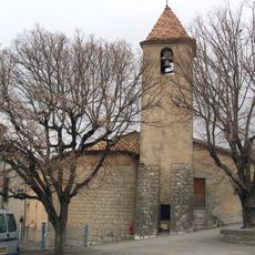
Local brewers in Thorame-Basse have created an organic craft beer that takes its name from the mountain and reflects its presence in regional food culture. The beverage shows how the peak influences the community's identity and traditions.

The paragliding takeoff site at Petit Cordeil offers excellent flying conditions and is accessible to active visitors looking for air sports opportunities. The elevation and exposed position make this location a favored spot for pilots from the surrounding area.

The peak appears on IGN maps under three different names: Cordœil, Cordeil, and Cordeuil, reflecting regional linguistic variations. These multiple designations reveal how local dialects have influenced the naming of geographical features over time.

The community of curious travelers

AroundUs brings together thousands of curated places, local tips, and hidden gems, enriched daily by 60,000 contributors worldwide.

Start exploring
Elevation above the sea
2,114 m
GPS coordinates
44.06794,6.52941
Latest update
December 14, 2025 20:25
Reviews
Share your experience

No review yet

Discussions
Start a discussion...

No discussion yet

« Montagne de Cordeil - Mountain summit in Alpes-de-Haute-Provence, France » is provided by Around Us (aroundus.com). Images and texts are derived from Wikimedia project under a Creative Commons license. You are allowed to copy, distribute, and modify copies of this page, under the conditions set by the license, as long as this note is clearly visible.

Discover hidden gems everywhere you go!

From secret cafés to breathtaking viewpoints, skip the crowded tourist spots and find places that match your style. Our app makes it easy with voice search, smart filtering, route optimization, and insider tips from travelers worldwide. Download now for the complete mobile experience.

Around Us App Screenshot

A unique approach to discovering new places

Le Figaro

All the places worth exploring

France Info

A tailor-made excursion in just a few clicks

20 Minutes

Around Us
Travel Guide & Maps
Download

Send to your phone

QR Code
1

Open the camera app on your mobile.

2

Point at the QR code with your camera. A notification will appear.

3

Tap the notification to open the link.