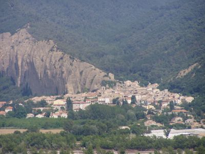
Les Mées, Mountain village in Alpes-de-Haute-Provence, France
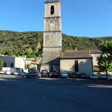
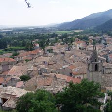
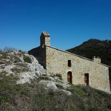
Les Mées sits at 410 meters elevation along the Durance Valley, positioned at the western edge of the Valensole plateau with mountains surrounding the area. The settlement spreads across agricultural land that transitions from the valley floor to higher terrain.
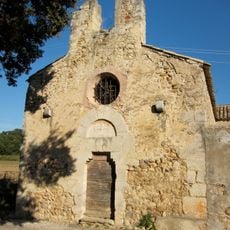
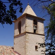
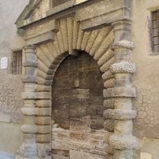
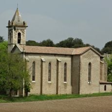
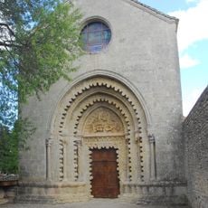
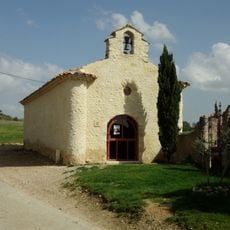
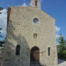
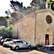
The village first appeared in 11th century records as Metas and Las Medas, with a Saint-Antoine priory operating under Marseille's Saint-Victor Abbey. This early religious connection shaped settlement patterns and local authority for centuries.
The village revolves around its farming heritage, with olive groves, apple orchards, and grain fields shaping daily life and local identity. These agricultural activities remain visible throughout the surrounding landscape and define how people interact with their land.
The area provides hiking trails, tennis courts, and a swimming pool for visitors to explore. Regular cultural events take place during summer months, making these seasons ideal for experiencing local activities.
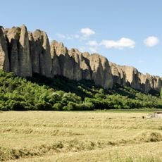
The distinctive Pénitents rock formation rises 100 meters above the settlement, resembling robed figures according to local folklore. This geological feature creates a striking visual landmark that defines the village skyline.
Location: canton of Mées
Location: Alpes-de-Haute-Provence
Location: arrondissement of Digne-les-Bains
Elevation above the sea: 525 m
Shares border with: Le Castellet, Château-Arnoux-Saint-Auban, L'Escale, Ganagobie, Lurs, Malijai, Montfort, Oraison, Peyruis, Puimichel
Phone: +33492340301
Email: courrier@mairie-lesmees.fr
Website: http://les-mees.fr
GPS coordinates: 44.02944,5.97639
Latest update: December 22, 2025 22:24
Ganagobie Abbey
6.5 km
Les Pénitents
767 m
Roman Bridge of Lurs
7.4 km
Château de Malijai
4.6 km
Chapelle Saint-Honorat des Mées
7.4 kmÉglise Saint-Martin d'Entrevennes
10.8 km
Église Notre-Dame-de-l'Olivier
91 m
Hôtel de Crose
127 m
Église Saint-Roch de Peyruis
3.1 km
Portail Saint-Félix
119 m
Église des Petits Camps des Mées
7.2 km
Chapelle Saint-Roch de Peyruis
3.4 km
Extérieur du Prieuré de Ganagobie
6.5 km
Monument to the 1851 Insurgency
54 m
Chapelle Saint-Michel d'Entrevennes
11 km
Monument to Louis Pasteur
90 m
Chapelle Saint-Roch des Mées
208 m
Chapelle Saint-Elzéar de Puimichel
7 km
Chapelle Notre-Dame de la Salette des Mées
313 m
Chapelle Saint-Nicolas d'Augès
5.5 km
Chapelle Notre-Dame de Champlan
3.1 kmLes Mées
862 mGanagobie Plateau
6.3 kmTerrasses du Château
3 kmScenic viewpoint
5.6 kmScenic viewpoint
2.2 kmBelvédère Jean Millet
1 kmScenic viewpoint
404 mVisited this place? Tap the stars to rate it and share your experience / photos with the community! Try now! You can cancel it anytime.
Discover hidden gems everywhere you go!
From secret cafés to breathtaking viewpoints, skip the crowded tourist spots and find places that match your style. Our app makes it easy with voice search, smart filtering, route optimization, and insider tips from travelers worldwide. Download now for the complete mobile experience.
A unique approach to discovering new places❞
— Le Figaro
All the places worth exploring❞
— France Info
A tailor-made excursion in just a few clicks❞
— 20 Minutes