Enable Location

We need your location to show you interesting places around you

Discover nearby places

Find interesting locations and hidden gems around you

Precise directions

Get accurate directions and distances to places

Your location is never shared with other users. It's only used when you tap the location button.

Isère

Log in to your account

Start exploring — it's free

Trusted by 62,526 travelers worldwide

Continue with Google
Continue with Apple
or

We will send you a code to connect

By continuing, you accept our Terms and Conditions and our Privacy Policy

Check your inbox

We've sent a pincode in your inbox. Please enter the code below.

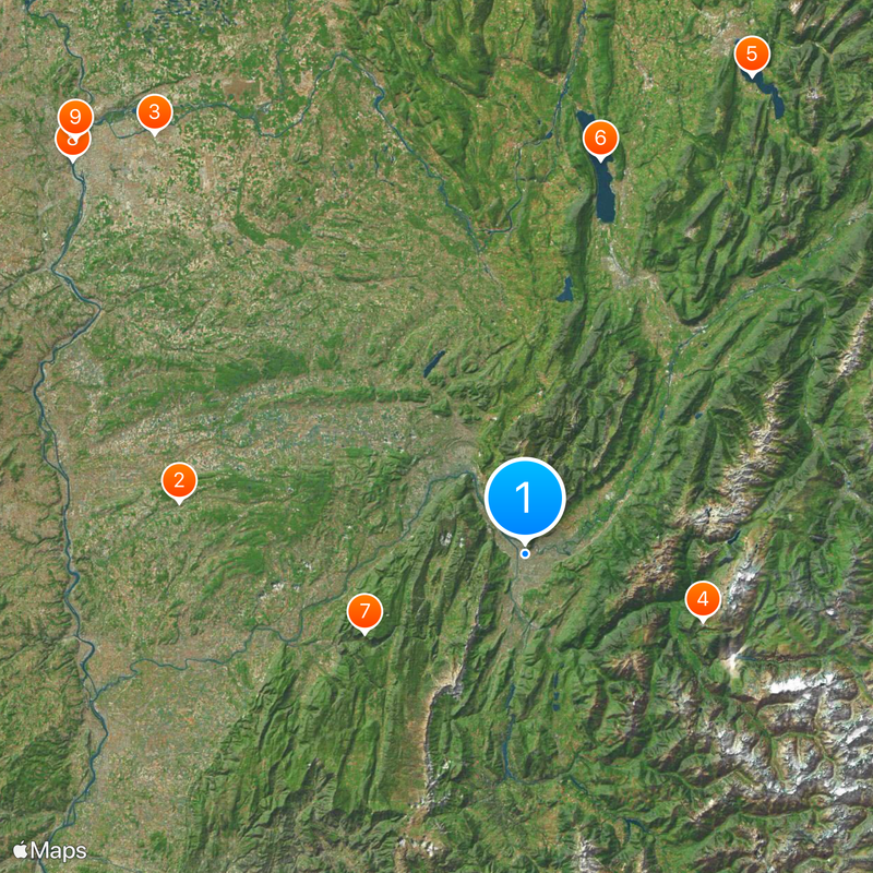
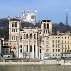
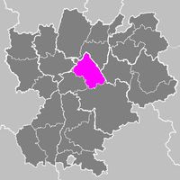
Isère, Department in Auvergne-Rhône-Alpes, France

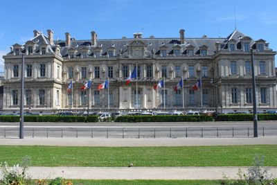
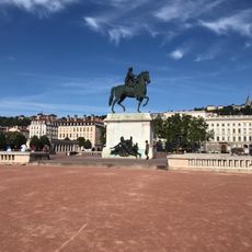
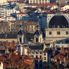
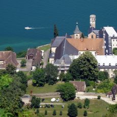
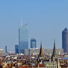
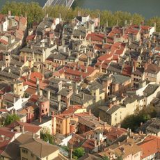
Isère is an administrative territory in the Auvergne-Rhône-Alpes region of southeastern France with Grenoble as its capital. The territory covers Alpine mountain landscapes, valleys with rivers, and flatter areas to the west.

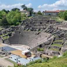
The territory was formed on March 4, 1790, during the French Revolution as part of nationwide restructuring. Before that, the areas belonged to different provinces such as Dauphiné.

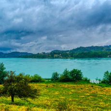
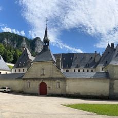
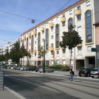
The name comes from the river that flows through the territory and was known in Roman times. Local markets and festivals take place in many towns and villages, where visitors see regional products and crafts.

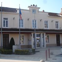
Offices in larger towns help with documents and administrative matters for residents and visitors. Opening hours and locations vary depending on the place and service desk.

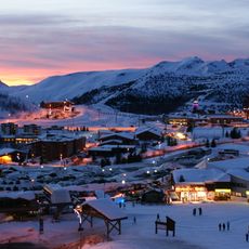
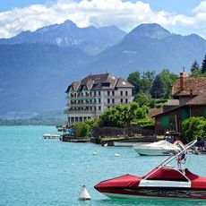
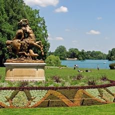
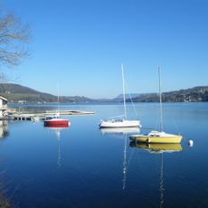
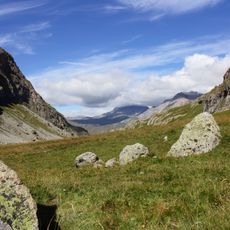
The height differences from 140 to 4088 meters (459 to 13,412 feet) create different climate zones in the same administrative territory. Visitors can move between vineyards and glaciers in one day.

The community of curious travelers

AroundUs brings together thousands of curated places, local tips, and hidden gems, enriched daily by 60,000 contributors worldwide.

Start exploring
Location
Inception
March 4, 1790
Capital city
Grenoble
Elevation above the sea
846 m
Reference
38
Shares border with
Ain, Ardèche, Drôme, Hautes-Alpes, Rhône, Loire, Savoie, Metropolis of Lyon
GPS coordinates
45.18333,5.71667
Latest update
December 14, 2025 22:33
« Isère - Department in Auvergne-Rhône-Alpes, France » is provided by Around Us (aroundus.com). Images and texts are derived from Wikimedia project under a Creative Commons license. You are allowed to copy, distribute, and modify copies of this page, under the conditions set by the license, as long as this note is clearly visible.

Discover hidden gems everywhere you go!

From secret cafés to breathtaking viewpoints, skip the crowded tourist spots and find places that match your style. Our app makes it easy with voice search, smart filtering, route optimization, and insider tips from travelers worldwide. Download now for the complete mobile experience.

Around Us App Screenshot

A unique approach to discovering new places

Le Figaro

All the places worth exploring

France Info

A tailor-made excursion in just a few clicks

20 Minutes

Around Us
Travel Guide & Maps
Download

Send to your phone

QR Code
1

Open the camera app on your mobile.

2

Point at the QR code with your camera. A notification will appear.

3

Tap the notification to open the link.