Pic de Chamoissière, Mountain summit in Hautes-Alpes, France
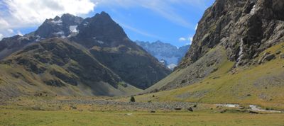
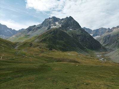
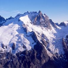
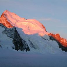
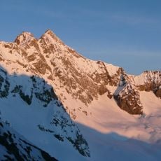
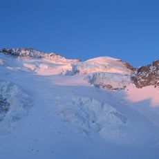
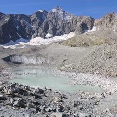
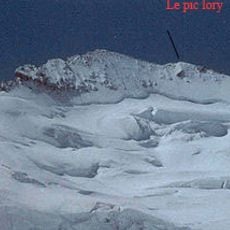
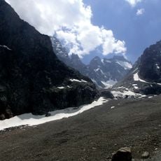
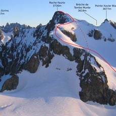
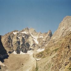
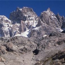
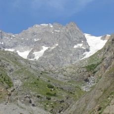
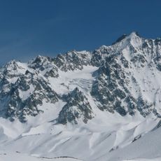
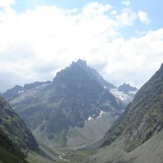
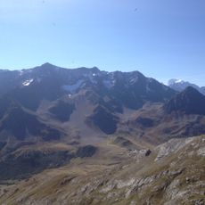
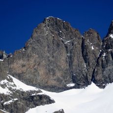
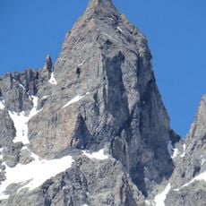
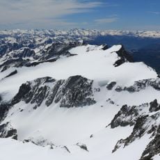
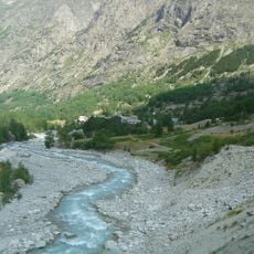
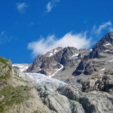
Pic de Chamoissière is a mountain summit in the Hautes-Alpes region rising to 3,207 meters, with steep rocky slopes and multiple climbing routes through the French Alps. The ascent passes through varied terrain and rock formations that present different levels of climbing difficulty.
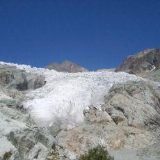
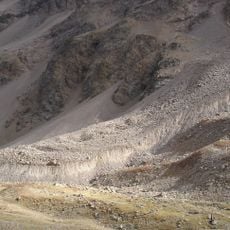
The summit formed during Alpine mountain building, when tectonic forces created the characteristic rock layers visible today. These geological processes shaped the distinctive rock formations and structures that define the mountain's profile.
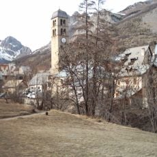
Local mountain guides pass down traditional climbing techniques specific to this peak, maintaining a connection between generations of mountaineers in the region.
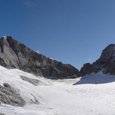
Climbing the summit requires experience with technical rock climbing, appropriate gear, and good physical fitness, along with attention to changing mountain weather. The warmer months offer the most stable conditions for attempting the ascent.
The northern face drops steeply with a vertical gain of roughly 1,600 meters, making it one of the largest elevation changes in the region. This substantial wall presents a demanding challenge for experienced alpinists attempting the ascent.
The community of curious travelers
AroundUs brings together thousands of curated places, local tips, and hidden gems, enriched daily by 60,000 contributors worldwide.