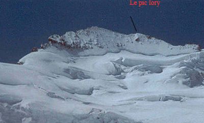
Pic Lory, Mountain summit in Isère, France
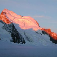
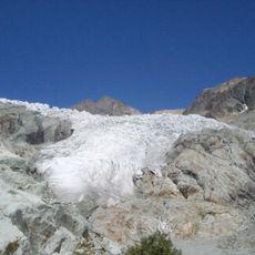
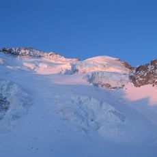
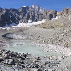
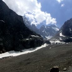
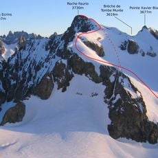
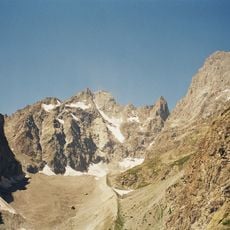
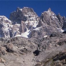
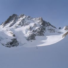
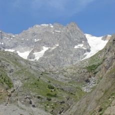
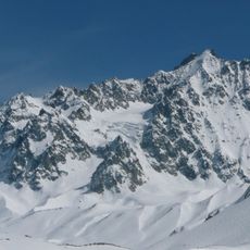
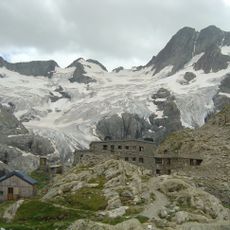
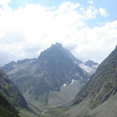
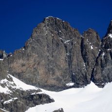
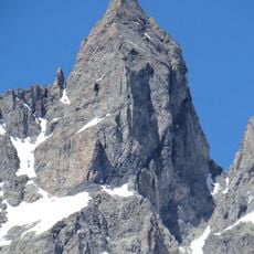
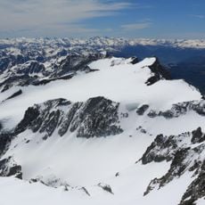
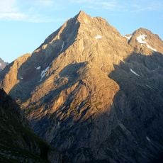
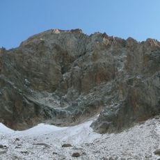
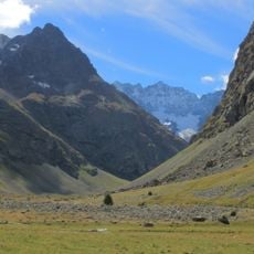
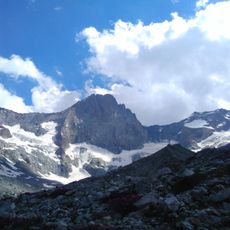
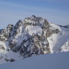
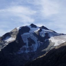
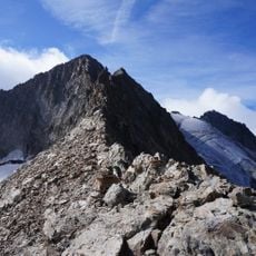
Pic Lory sits within the Ecrins massif and reaches 4,088 meters in height. The mountain features steep rock faces, exposed ridges, and glacier sections that create a serious alpine route requiring technical skill and experience.
The mountain was first climbed on June 25, 1864, by mountaineers A.W. Moore, Horace Walker, and Edward Whymper with their guides. This early ascent established the peak as a destination for subsequent generations of alpine climbers.
The peak draws climbers from around the world who come to test themselves against one of the Alps' most formidable challenges. It represents the pursuit of alpine adventure that defines mountaineering culture in this region.
Reaching the summit requires experience with rock and ice climbing plus good acclimatization to altitude. The summer months offer the most favorable conditions when weather patterns are more stable and snow coverage is reduced.
Though one of the highest peaks in the region, it remains overlooked because it lacks official recognition as an independent 4,000-meter summit. This classification means it gets passed over by many alpine enthusiasts, despite the climb being every bit as demanding as higher-ranked peaks.
The community of curious travelers
AroundUs brings together thousands of curated places, local tips, and hidden gems, enriched daily by 60,000 contributors worldwide.