Roche Faurio, Mountain peak in Isère, France.
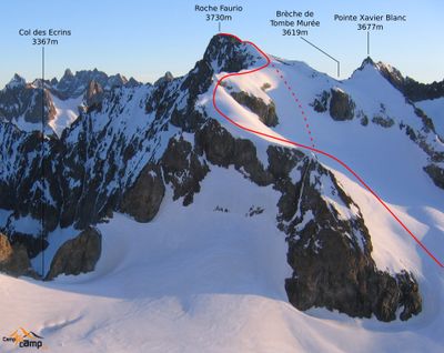
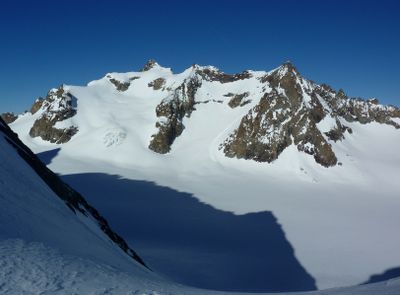
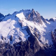
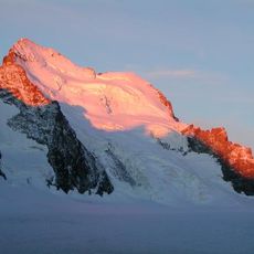
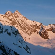
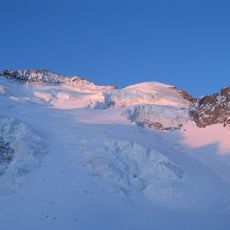
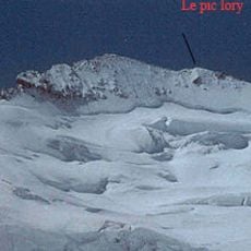
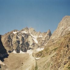
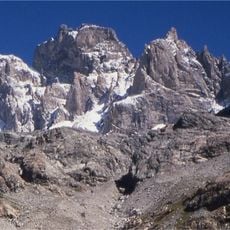
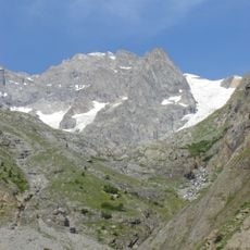
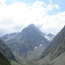
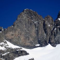
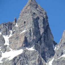
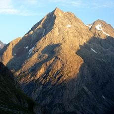
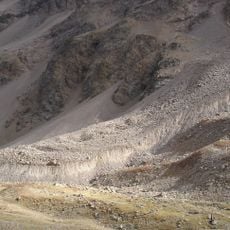
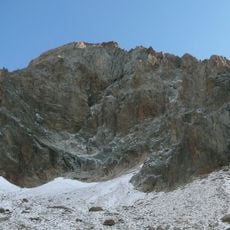
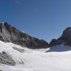
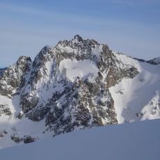
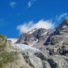
Roche Faurio is a mountain summit in the Dauphiné Alps reaching 3730 meters, distinguished by a steep north face overlooking Glacier Blanc. The peak sits within a landscape shaped by glaciers and exposed rock, creating a terrain that demands careful navigation.
The first documented ascent occurred in 1873, marking the beginning of this peak's climbing record in Alpine exploration. Since then it has remained a significant landmark in French mountaineering history.
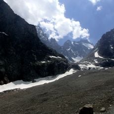
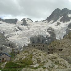
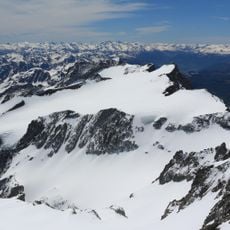
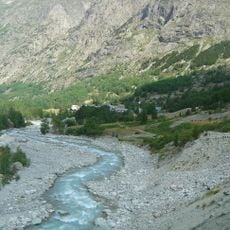
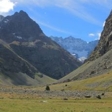
Located within Écrins National Park, Roche Faurio represents the mountaineering traditions of the French Alps and serves as a training ground for climbers.
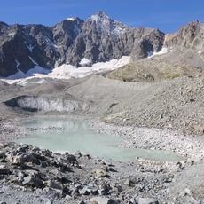
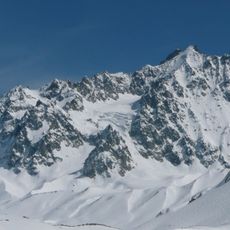
The approach follows glacial terrain and takes roughly four hours from the Écrins Hut as a starting point. Conditions vary throughout the year, so visitors should prepare for changes in snow and ice coverage depending on the season.
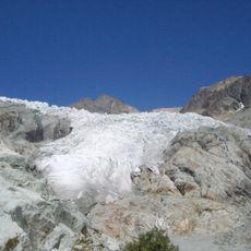
The glacial formations at this summit shift considerably with each season, creating different technical challenges from year to year. These seasonal variations mean that no two ascents feel quite the same.
Location: Saint-Christophe-en-Oisans
Location: Villar-d'Arêne
Location: Vallouise-Pelvoux
Elevation above the sea: 3,730 m
Website: http://geodesie.ign.fr/fiches/index.php?module=e&action=fichepdf&source=carte&sit_no=3837521
GPS coordinates: 44.94182,6.35743
Latest update: December 14, 2025 11:05
Meije
8 km
Barre des Écrins
2.2 km
Pic de Neige Cordier
3 km
Glacier Blanc
1.8 km
Dôme de Neige des Écrins
2 km
Glacier d'Arsine
4.6 km
Pic Lory
2.2 km
Glacier Noir
3.6 km
Pic Coolidge
3.6 km
Pic Sans Nom
5.8 km
Pic Gaspard
6.6 km
Les Agneaux
5.8 km
Pilatte Glacier
9.1 km
Grande Ruine
3.6 km
Le Pavé
6.8 km
Le Fifre
2.8 km
Glacier du Monêtier
6.6 km
Grande aiguille de la Bérarde
6.8 km
Laurichard Glacier
9 km
Dome of Monetier
7.6 kmRéserve naturelle nationale de la haute vallée de Saint-Pierre
6.8 km
Tête du Rouget
7.6 km
Réserve naturelle nationale de la haute vallée du Vénéon
5.5 km
Pic de Chamoissière
4.2 km
Tête Sud du Replat
7.8 km
Cime de l'Encoula
7.2 km
Col du Bec
9.1 km
Pic du Glacier d'Arsine
3.9 kmVisited this place? Tap the stars to rate it and share your experience / photos with the community! Try now! You can cancel it anytime.
Discover hidden gems everywhere you go!
From secret cafés to breathtaking viewpoints, skip the crowded tourist spots and find places that match your style. Our app makes it easy with voice search, smart filtering, route optimization, and insider tips from travelers worldwide. Download now for the complete mobile experience.
A unique approach to discovering new places❞
— Le Figaro
All the places worth exploring❞
— France Info
A tailor-made excursion in just a few clicks❞
— 20 Minutes