Chest opened
+${chestReward.xp} XP
Explorer
NOUVEAU ×${chestReward.collectible.quantity}
tapez pour fermer

See the monuments around you in AR Open chests in the app

Around Us is built for your phone — point your camera at the streets and discover the monuments and places around you in augmented reality. Around Us is built for your phone — chests unlock when you walk, explore and capture nearby places.

•

Enable Location

We need your location to show you interesting places around you

Discover nearby places

Find interesting locations and hidden gems around you

Precise directions

Get accurate directions and distances to places

Your location is never shared with other users. It's only used when you tap the location button.

Le Pavé

Log in to your account

Start exploring — it's free

Trusted by 93,456 travelers worldwide

Continue with Google
Continue with Apple
or

We will send you a code to connect

By continuing, you accept our Terms and Conditions and our Privacy Policy

Check your inbox

We've sent a pincode in your inbox. Please enter the code below.

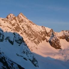
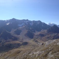
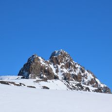
Le Pavé, Mountain summit in Isère, France

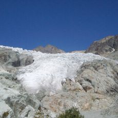
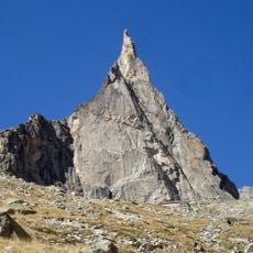
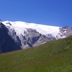
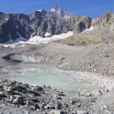
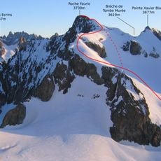
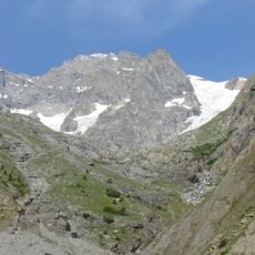
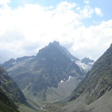
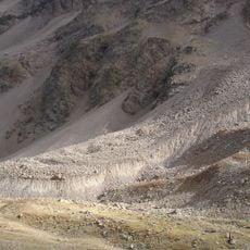
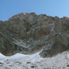
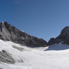
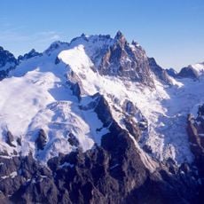
Le Pavé is a 3,823 m summit in the Écrins massif, a topographic node where the long southern ridge meets the Meije arête coming from Pic Gaspard. Its 400 m south face, steep and dolomite-like, holds high-difficulty routes on good-quality gneiss. The west face drops over the upper Glacier des Étançons, the north face over the upper Glacier Supérieur du Lautaret, and the Glacier Supérieur des Cavales lies below the south face.

The first ascent was made on 19 July 1879 by William Auguste Coolidge with the guides Christian Almer senior and junior, via the west face. The south face, 400 m high and dolomitic in character, was climbed on 25 June 1944 by Gaston Rébuffat and Michel Chevalier; the route Voyage au pays de l'oxygène rare followed in 1997-1998. On 28 April 1933 the Polish climber Jerzy Golcz made the first winter ascent alone, surviving a 620-metre fall onto the Étançons glacier.

The south face, 400 m high and dolomite-like in its steepness, carries the Rébuffat route, opened on 25 June 1944 by Gaston Rébuffat and Michel Chevalier. In 1997-1998 Jean-Michel Cambon, Gilles Crespi, Alain Dupaquis, Hervé Guigliarelli, Greg Sauget and Eric Desrayaud added "Voyage au pays de l'oxygène rare". The rock is good-quality gneiss.

The climb requires alpine experience and proper gear for rock and snow conditions. Visitors should plan early starts and monitor weather closely, as conditions can change quickly at this elevation.

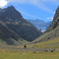
On 28 April 1933 the Polish climber Jerzy Golcz made the first winter ascent alone; a rock block gave way and he fell 620 metres onto the Glacier des Étançons and survived. The Col du Pavé (about 3535 m) below the summit is often used to cross from the Clot des Cavales valley to the Étançons valley.

The community of curious travelers

AroundUs brings together thousands of curated places, local tips, and hidden gems, enriched daily by 93,456 contributors worldwide.

Start exploring
Location
Elevation above the sea
3,823 m
GPS coordinates
44.99867,6.32452
Latest update
October 26, 2026 00:07
Reviews
Share your experience

No review yet

Discussions
Start a discussion...

No discussion yet

« Le Pavé - Mountain summit in Isère, France » is provided by Around Us (aroundus.com). Images and texts are derived from Wikimedia project under a Creative Commons license. You are allowed to copy, distribute, and modify copies of this page, under the conditions set by the license, as long as this note is clearly visible.

Discover hidden gems everywhere you go!

From secret cafés to breathtaking viewpoints, skip the crowded tourist spots and find places that match your style. Our app makes it easy with voice search, smart filtering, route optimization, and insider tips from travelers worldwide. Download now for the complete mobile experience.
Around Us App Screenshot
❝

A unique approach to discovering new places❞

— Le Figaro

❝

All the places worth exploring❞

— France Info

❝

A tailor-made excursion in just a few clicks❞

— 20 Minutes

Around Us
Travel Guide & Maps
Download

Send to your phone

QR Code
1

Open the camera app on your mobile.

2

Point at the QR code with your camera. A notification will appear.

3

Tap the notification to open the link.