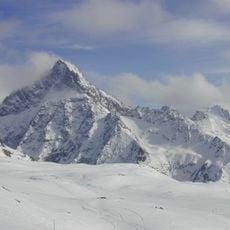
Pic de la Grave, Alpine summit in Ecrins National Park, France.
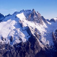
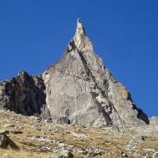
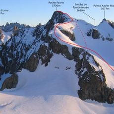
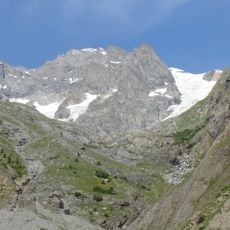
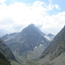
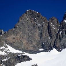
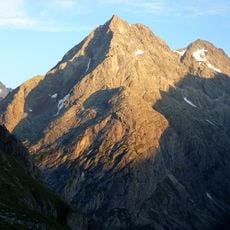
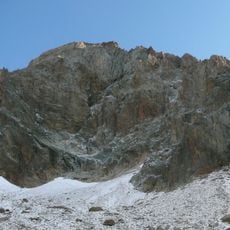
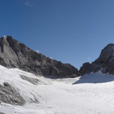
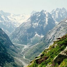
Pic de la Grave is a 3,667-metre summit of the Écrins massif in the Isère department, on the ridge running from the Meije past Le Râteau toward the Dôme de la Lauze. Its upper part is dark brown and grey rock split into two close jagged points, the right one slightly higher, with snow clinging in patches and streaks. Below, an unbroken snow slope runs down toward the Girose glacier.
The first ascent was made on 14 July 1874 by W. A. B. Coolidge with Christian Almer and R. Kauffman. The peak, 3,667 m high, lies on the ridge running east from the Meije past Le Râteau and on toward the Dôme de la Lauze, in the Écrins massif of the Isère department.
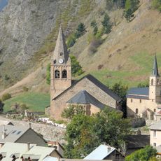
The peak's name comes from La Grave, the commune northeast of the mountain in the Isère department. Climbers on the normal route from the col des Ruillans pass the Refuge Evariste Chancel at 2,506 m, and the Refuge de la Selle stands south of the mountain in the Vallon du Diable.
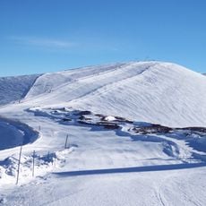
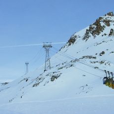
The normal route starts from the col des Ruillans at 3,173 m, reached by the téléphérique de la Grave. From there climbers ascend the glacier de la Girose and then follow the final ridge to the summit. The Refuge Evariste Chancel at 2,506 m serves as a support hut.
The normal route starts at the Col des Ruillans (3,173 m), reached by the Téléphérique de la Grave, then climbs the Glacier de la Girose before following the final ridge. The Refuge de la Selle stands south of the peak in the Vallon du Diable, and the Refuge Evariste Chancel (2,506 m) serves as a support hut.
The community of curious travelers
AroundUs brings together thousands of curated places, local tips, and hidden gems, enriched daily by 92,902 contributors worldwide.