Enable Location

We need your location to show you interesting places around you

Discover nearby places

Find interesting locations and hidden gems around you

Precise directions

Get accurate directions and distances to places

Your location is never shared with other users. It's only used when you tap the location button.

Aiguille du Plat de la Selle

Log in to your account

Start exploring — it's free

Trusted by 61,938 travelers worldwide

Continue with Google
Continue with Apple
or

We will send you a code to connect

By continuing, you accept our Terms and Conditions and our Privacy Policy

Check your inbox

We've sent a pincode in your inbox. Please enter the code below.

Aiguille du Plat de la Selle

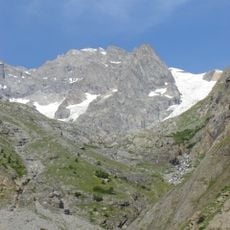
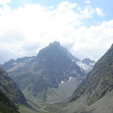
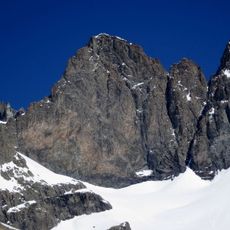
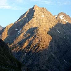
Aiguille du Plat de la Selle, Alpine summit in Massif des Écrins, France.

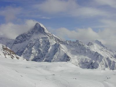
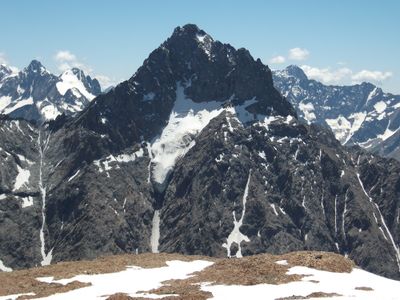
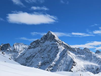
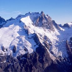
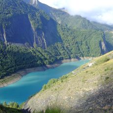
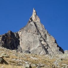
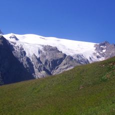
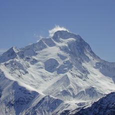
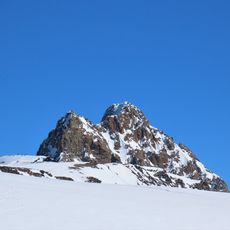
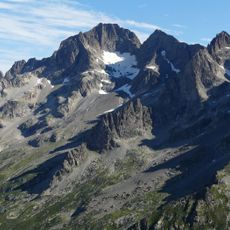
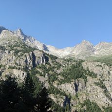
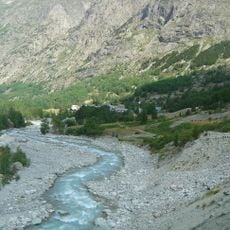
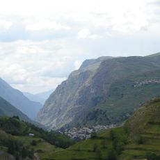
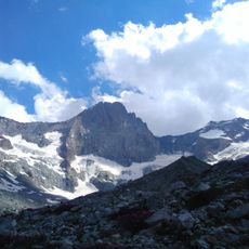
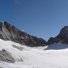
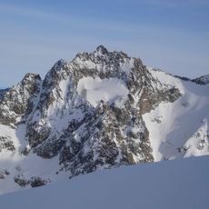
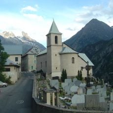
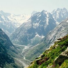
Aiguille du Plat de la Selle is a mountain peak in the Dauphiné Alps of southeastern France surrounded by steep rock faces and granite formations. It stands within Ecrins National Park and marks the landscape with its distinctive rocky ridges and sheer cliff walls.

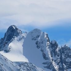
The peak was first climbed in 1876, establishing it as a destination for mountaineers exploring the region. This early ascent marked the beginning of interest in the technical climbing routes that the massif offers.

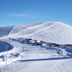
The mountain belongs to the Ecrins National Park, where environmental protection measures maintain the natural state of the Alpine ecosystem.

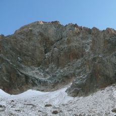
The summit requires technical climbing equipment and experience with alpine routes because the terrain is steep and exposed. Visitors should familiarize themselves with mountain maps and ideally climb with experienced guides or in organized groups.

The mountain appeals to climbers because of its several technical routes up sheer rock walls that require multiple pitches to complete. One notable climbing line passes through a narrow, shaded granite corridor that mountaineers have used for over a century.

The community of curious travelers

AroundUs brings together thousands of curated places, local tips, and hidden gems, enriched daily by 60,000 contributors worldwide.

Start exploring
Elevation above the sea
3,596 m
Part of
Massif du Soreiller
GPS coordinates
44.96445,6.22296
Latest update
December 14, 2025 20:02
« Aiguille du Plat de la Selle - Alpine summit in Massif des Écrins, France » is provided by Around Us (aroundus.com). Images and texts are derived from Wikimedia project under a Creative Commons license. You are allowed to copy, distribute, and modify copies of this page, under the conditions set by the license, as long as this note is clearly visible.

Discover hidden gems everywhere you go!

From secret cafés to breathtaking viewpoints, skip the crowded tourist spots and find places that match your style. Our app makes it easy with voice search, smart filtering, route optimization, and insider tips from travelers worldwide. Download now for the complete mobile experience.

Around Us App Screenshot

A unique approach to discovering new places

Le Figaro

All the places worth exploring

France Info

A tailor-made excursion in just a few clicks

20 Minutes

Around Us
Travel Guide & Maps
Download

Send to your phone

QR Code
1

Open the camera app on your mobile.

2

Point at the QR code with your camera. A notification will appear.

3

Tap the notification to open the link.