Tête du Rouget, Mountain summit in Isère, France
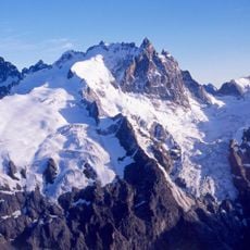
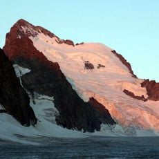
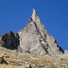
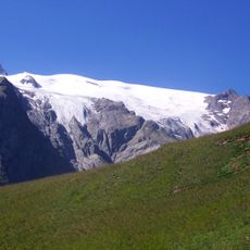
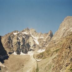
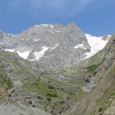
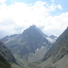
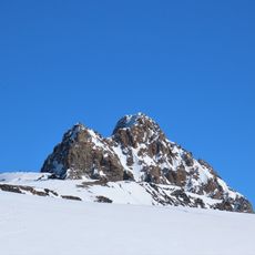
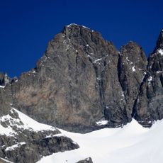
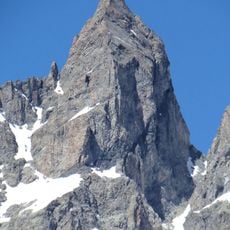
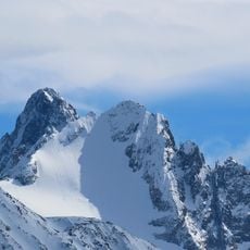
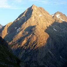
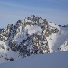
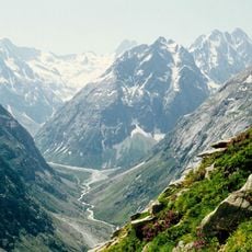
Tête du Rouget is a 3,418 m summit in the Écrins massif, above the Soreiller refuge. Its west face rises about 300 m, while the south face reaches 470 m and is cut by spurs and secondary summits such as the Grand Gendarme du Rouget and the Tour Jaune. The photograph shows grey-brown jagged rock with snow patches and a broad scree slope below.
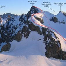
The south face of Tête du Rouget saw many first ascents by Pierre Chapoutot, and the mountain's climbing routes include the Arête Nord (normal route), Voie des Plaques, Le Trésor de Rackam le Rouget, Directe de 1976 and Voie de la Console. The refuge du Soreiller at its foot is reached in 2 h 30 from the hamlet of Les Étages.
The name Rouget comes from the colour of the granite, and the south face is the mountain's climbing ground: many first ascents there were made by Pierre Chapoutot. Recorded routes include the North Ridge (normal route), the Voie des Plaques, Le Trésor de Rackam le Rouget, the Directe de 1976 and the Voie de la Console.
Reaching this peak requires multiple days of hiking and climbing with technical sections. The best window for attempts is from late spring through early autumn when conditions are more favorable.
The south face, 470 m high, is cut by numerous spurs and secondary summits, among them the Grand Gendarme du Rouget and the Tour Jaune. The granite here takes its reddish tint from iron oxide, which gave the mountain its name. The refuge du Soreiller stands at the foot of the peak, 2 h 30 from the hamlet of Les Étages.
The community of curious travelers
AroundUs brings together thousands of curated places, local tips, and hidden gems, enriched daily by 92,870 contributors worldwide.