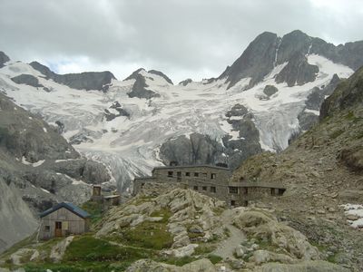
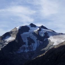
Pilatte Glacier, Alpine glacier in Saint-Christophe-en-Oisans, France.
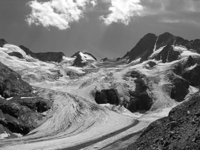
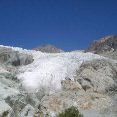
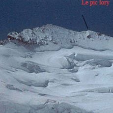
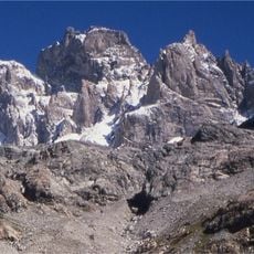
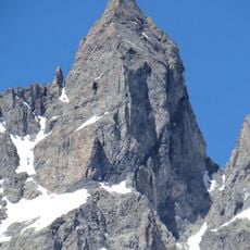
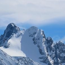
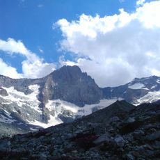
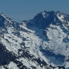
Pilatte Glacier is a mountain glacier in Saint-Christophe-en-Oisans located within Ecrins National Park, stretching across a valley basin with its terminus at approximately 2400 meters elevation. The ice field displays typical glacier features including crevasses and a clear flow pattern descending toward lower elevations.
This glacier formed during colder climate periods and once covered larger areas of the valley like other high mountain ice masses. The ice tongue retreated significantly during the 1900s, leaving marks of its movement on the surrounding slopes.
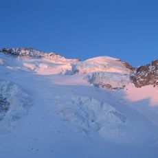
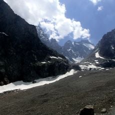
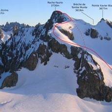
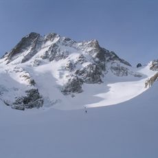
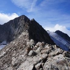
The glacier serves as a gateway for mountaineers and backcountry skiers who depart across its surface to reach neighboring passes during winter months. Visitors can observe how local mountain guides use this route and explain which paths suit different skill levels.
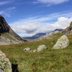
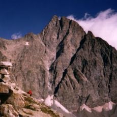
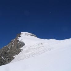
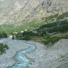
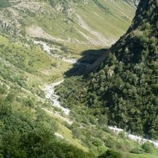
A marked hiking trail runs from La Berarde to the Pilatte Refuge offering direct access to the glacier through the national park. Visitors should bring proper mountain gear and check weather conditions since alpine conditions change quickly.
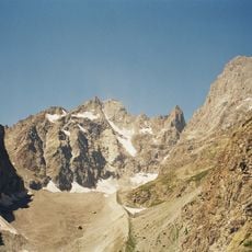
The glacier surface has shrunk noticeably over recent decades and is smaller today than it was in the later 1900s. This change makes it a visible example of how climate shifts affect ice masses in the European Alps.
The community of curious travelers
AroundUs brings together thousands of curated places, local tips, and hidden gems, enriched daily by 60,000 contributors worldwide.