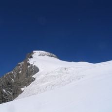
Sirac, Mountain summit in Hautes-Alpes, France
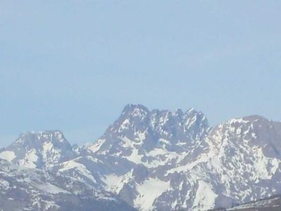
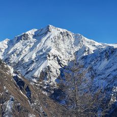
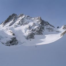
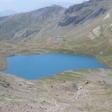
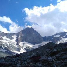
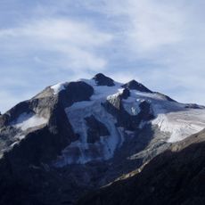
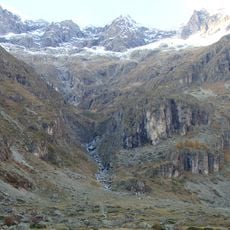
Sirac is a mountain summit in the Écrins massif reaching 3,441 meters, positioned between the Valgaudemar and Haut-Champsaur valleys in the southern section of the range. The peak sits within a landscape of numerous alpine valleys and ridges that connect to surrounding peaks.
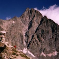
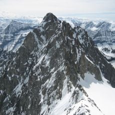
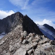
The peak was first climbed in 1877 by William Auguste Coolidge with Christian Almer and Almer's son, marking an important moment in 19th-century Alpine exploration. This early ascent contributed to the growing knowledge of the southern Écrins region during that era.
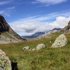
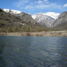
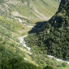
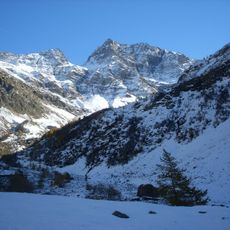
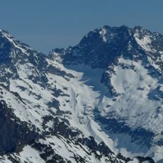
The mountain serves as a well-known landmark for climbers exploring the southern Alps and is regularly visited by hikers seeking alpine routes. Its location and reputation make it a reference point for those navigating this mountain region.
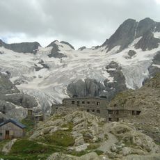
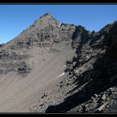
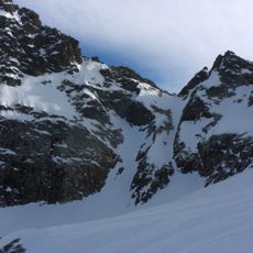
The most direct approach to the summit follows the western slope, with marked trails leading toward the Chabournéou and Vallonpierre shelters as orientation points. Visitors should be experienced mountain walkers and plan their visit according to weather conditions in this high-altitude environment.
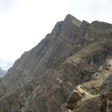
The summit displays distinctive rock formations representing multiple geological stages, which attracts researchers studying Alpine mountain development. Visitors who examine the exposed stone layers can observe the complex geological history written into the mountainside itself.
The community of curious travelers
AroundUs brings together thousands of curated places, local tips, and hidden gems, enriched daily by 60,000 contributors worldwide.