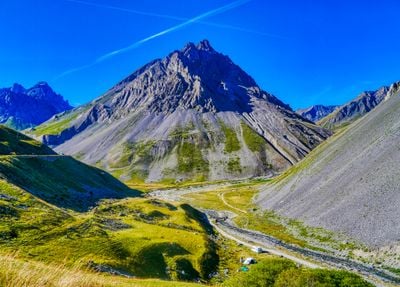
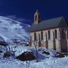
Roche Olvéra, Mountain summit in Valloire, France.
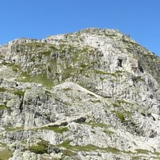
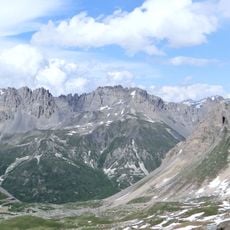
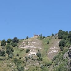
Roche Olvéra is a rocky summit near Valloire reaching about 2,600 meters (8,530 feet), positioned where several major Alpine ranges come together. From this peak, visitors can see three distinct mountain regions spread across the horizon.
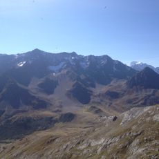
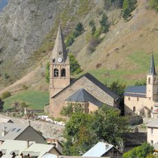
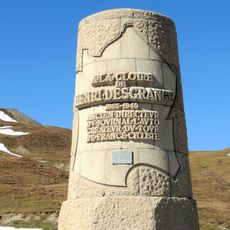
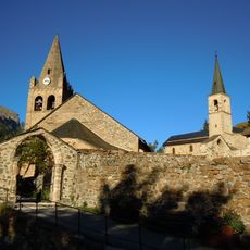
This mountain area served as a crucial passage for shepherds moving livestock between valleys during seasonal migrations centuries ago. The summit and its surroundings were integral to the movement patterns that connected Alpine communities at different elevations.
The slopes around this summit host sheep herds that move across the meadows during summer, a practice that shapes how the landscape looks and is used throughout the season. This pastoral activity connects visitors to how mountain communities have lived and worked in these peaks for generations.
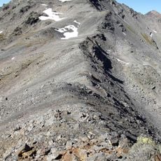
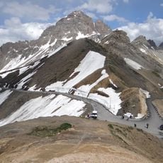
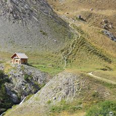
The trail to the summit starts from Galibier Pass and involves steady climbing with an elevation gain of about 350 meters (1,150 feet) over roughly 1 hour and 45 minutes. Weather conditions change quickly at this altitude, so visitors should come prepared with layers and check conditions before setting out.
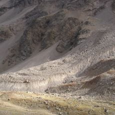
Standing at this summit means standing at a junction where different Alpine geological systems meet and intersect. This rare geological meeting point offers visitors a chance to see how the mountains were formed in very different ways.
The community of curious travelers
AroundUs brings together thousands of curated places, local tips, and hidden gems, enriched daily by 60,000 contributors worldwide.