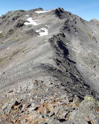
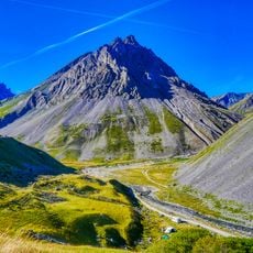
Roche du Chardonnet, Mountain peak in Hautes-Alpes, France.
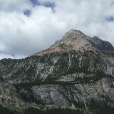
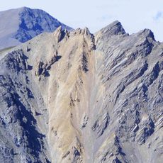
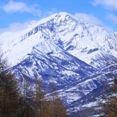
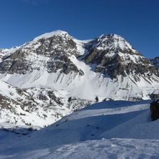
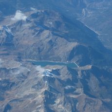
Roche du Chardonnet is a mountain peak in the Hautes-Alpes made of crystalline schist that rises to 2,950 meters (9,678 feet). The mountain features three distinct ridges that connect to neighboring passes and terrain formations.
Until 1947, this peak formed the border between France and Italy during significant European boundary changes. Its location made it a key marker during the redrawing of continental borders.
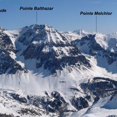
The summit serves as a landmark that guides mountaineers navigating the French Alpine region. Local climbers recognize its rocky profile as a reference point for orientation and route planning across the high terrain.
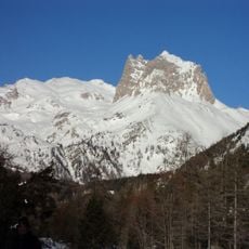
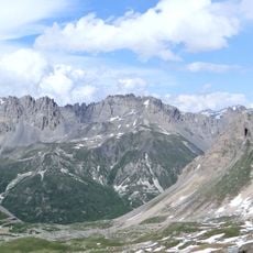
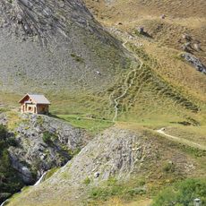
Access to the summit is through the Col des Muandes route and requires proper alpine gear and mountaineering experience. Winter ascents need ski equipment, and visitors should be well-prepared and acclimatized beforehand.
The peak forms a junction where three major water basins meet: the Durance, Isère, and Po rivers, defining the watershed divide in this Alpine sector. This location made it historically significant when establishing territorial boundaries.
Location: Hautes-Alpes
Elevation above the sea: 2,950 m
Made from material: crystalline schist
GPS coordinates: 45.10192,6.54892
Latest update: December 12, 2025 07:57
Grand Galibier
10 km
Rocca Bernauda
6.2 km
Ouvrage Les Rochilles
5.2 km
Ouvrage Le Lavoir
9.9 km
Guglia Rossa
9.8 km
Ouvrage Pas du Roc
9.3 km
Punta Quattro Sorelle
8.8 km
Grand Séru
3.3 km
Punta Nera
9.1 km
Église Saint-Marcellin de Névache
10.2 km
Aiguillette du Lauzet
10.3 km
Rocher de la Grande Tempête
2.5 km
Pointe Balthazar
6.5 km
Punta Gasparre
8 km
Roche Fleurie
9.5 km
Rochers de la Grande Paré
7.8 km
Montissot
8.9 km
Chapelle Sainte-Barbe de Névache
9.4 km
Chapelle Saint-Antonin de Névache
10.2 km
Chapelle Notre-Dame-de-Bon-Secours de Lacou
9.6 km
Les Quilles du Tabarnak – PUB & BOWLING
9.3 km
Chapelle Sainte-Marie de Foncouverte
7.6 km
Chapelle Saint-Antoine de Névache
10.3 km
Église Notre-Dame-des-Neiges de Bonnenuit
10.2 km
Roche Olvéra
10.2 km
Bissorte Lake
8.1 km
L'Alpe du Lauzet
10.3 km
Chapelle Saint-Roch de Ville Basse
10.4 kmVisited this place? Tap the stars to rate it and share your experience / photos with the community! Try now! You can cancel it anytime.
Discover hidden gems everywhere you go!
From secret cafés to breathtaking viewpoints, skip the crowded tourist spots and find places that match your style. Our app makes it easy with voice search, smart filtering, route optimization, and insider tips from travelers worldwide. Download now for the complete mobile experience.
A unique approach to discovering new places❞
— Le Figaro
All the places worth exploring❞
— France Info
A tailor-made excursion in just a few clicks❞
— 20 Minutes