Rocca Bernauda, Mountain peak in Hautes-Alpes, France
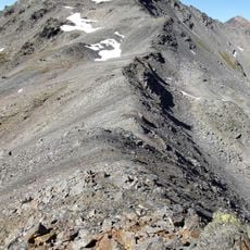
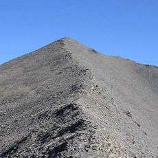
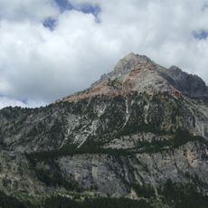
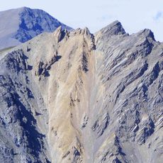
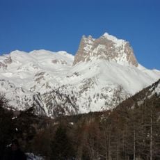
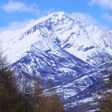
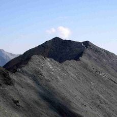
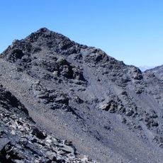
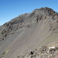
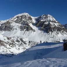
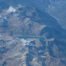
Rocca Bernauda is a 3,222-metre summit in the Cottian Alps, formed of quartzite and gneiss, especially at the top. Two adjacent summits joined by a broad saddle rise above steep dark rock walls, with snowfields and dark rocky ribs descending between and below them. It is the westernmost point of Italy since the 1947 Paris Peace Treaties ceded the Vallée Étroite to France.
The summit was first climbed on 29 June 1885 by Leopoldo Barale, Michelangelo Borgarelli and Edoardo Firez of the CAI Turin, guided by Augusto Sibille. After the 1947 Paris Peace Treaties ceded the Vallée Étroite to France, Rocca Bernauda became the westernmost point of Italy.
The name has two forms: Italian Rocca Bernauda and French Roche Bernaude, used on either side of the border. Since the 1947 Paris Peace Treaties ceded Valle Stretta to France, the summit has marked Italy's westernmost point, and walkers on the crest can step between the two countries.
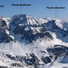
The route starts from Valle Stretta: reach Piano della Fonderia at 1,911 m, cross the Rio di Valle Stretta and climb to the saddle between Rocca Bernauda and Punta Baldassarre, from where the summit is gained along the crest. The mountain lies between the Susa Valley, the Durance and the Maurienne, so approaches differ by side.
Since the 1947 Paris Peace Treaties ceded the Vallée Étroite to France, Rocca Bernauda has been the westernmost point of Italy, a border detail marked on maps but easy to miss on the ground. The frontier runs along these dark quartzite and gneiss crags.
The community of curious travelers
AroundUs brings together thousands of curated places, local tips, and hidden gems, enriched daily by 94,657 contributors worldwide.