Pointe de Paumont, Mountain summit in Cottian Alps, France-Italy border.
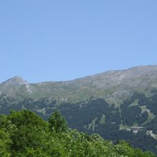
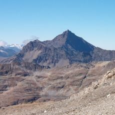
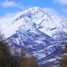
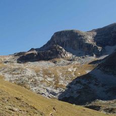
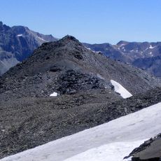
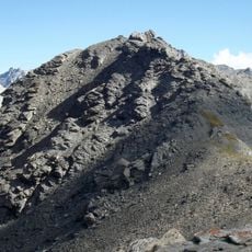
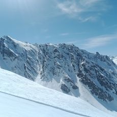
Pointe de Paumont is a mountain summit in the Cottian Alps situated along the France-Italy border between Savoie and Piedmont. The peak features three distinct ridges that converge toward the 3,171-meter (10,403-foot) summit.
The name Paumont, used on French maps, comes from the Italian side's toponym (croce di Paumont, rio di Paumont), derived from Piedmontese "pàu mòrt" (fear of death). Italian cartography calls the peak Cima del Vallone or Cima del Gran Vallone, while the Guida dei Monti d'Italia lists Punta di Paumòrt. The 3,171 m summit lies on the Dora-Arc watershed, divided between Avrieux (north face) and Bardonecchia (south faces).
The name Paumont comes from the Piedmontese "pàu mòrt", "fear of death", recorded in local toponyms such as croce di Paumont and rio di Paumont on the Italian side. Italian maps call the mountain Cima del Vallone or Cima del Gran Vallone, while the Guida dei Monti d'Italia also lists Punta di Paumòrt. French maps use Pointe de Paumont, and the name Pointe du Grand Vallon there refers instead to the neighbouring Punta Bagnà (3,129 m).
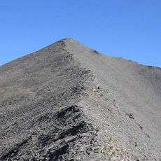
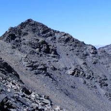
The three least difficult routes follow the ridges meeting at the summit: the south ridge from Rochemolles via the Colletto della Roccia Verde, the south-west ridge from the Colle del Fréjus over Punta Bagnà (3,129 m), and the east ridge from the Colle della Pelouse past Cima Gardiora (3,140 m). The south ridge is graded F. The Italian face is steep and mostly scree.
Loose scree slopes separate the Frejus Valley from the Rochemolles Valley, creating a natural border between two distinct landscapes. This geological feature also links the mountain to neighboring peaks Roccia Verde and Punta Melmise in a continuous ridge system.
The community of curious travelers
AroundUs brings together thousands of curated places, local tips, and hidden gems, enriched daily by 93,529 contributors worldwide.