Enable Location

We need your location to show you interesting places around you

Discover nearby places

Find interesting locations and hidden gems around you

Precise directions

Get accurate directions and distances to places

Your location is never shared with other users. It's only used when you tap the location button.

Cima Gardiola

Log in to your account

Start exploring — it's free

Trusted by 61,963 travelers worldwide

Continue with Google
Continue with Apple
or

We will send you a code to connect

By continuing, you accept our Terms and Conditions and our Privacy Policy

Check your inbox

We've sent a pincode in your inbox. Please enter the code below.

Cima Gardiola

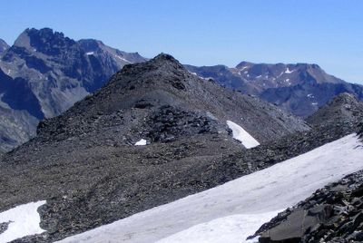
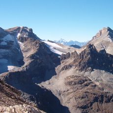
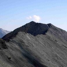
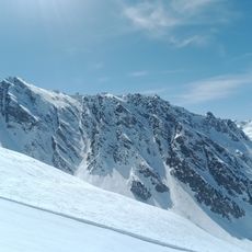
Cima Gardiola, Mountain summit at France-Italy border, Savoie and Piedmont regions.

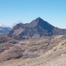
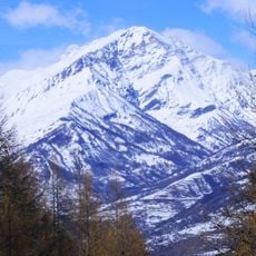
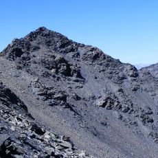
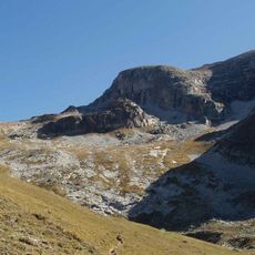
Cima Gardiola is a mountain summit located at the France-Italy border between Savoie and Piedmont regions. The peak stands at approximately 3,140 meters with exposed rock formations visible along its northeastern ridge.

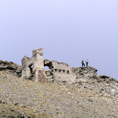
The boundary markers at this peak were established following the 1860 Treaty of Turin, which redefined the Franco-Italian border in the Alps. This agreement formally marked the location as an international frontier point.

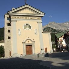
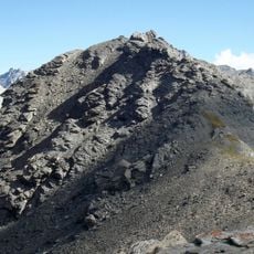
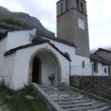
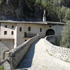
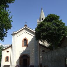
The mountain paths reflect centuries of cross-border movement between French Savoie and Italian Piedmont, marked by shepherd routes and trade passages.

The summit can be reached via the Col de Pelouse route, which connects the French town of Avrieux to the Italian municipality of Bardonecchia. This path provides a main access route for climbers approaching from either side of the border.

A geodetic measurement point installed by the French National Geographic Institute marks the exact summit position at this international boundary. This technical installation demonstrates the importance of precise positioning for border demarcation.

The community of curious travelers

AroundUs brings together thousands of curated places, local tips, and hidden gems, enriched daily by 60,000 contributors worldwide.

Start exploring
Location
Location
Elevation above the sea
3,140 m
Part of
France–Italy border
GPS coordinates
45.13847,6.73622
Latest update
December 14, 2025 20:25
« Cima Gardiola - Mountain summit at France-Italy border, Savoie and Piedmont regions » is provided by Around Us (aroundus.com). Images and texts are derived from Wikimedia project under a Creative Commons license. You are allowed to copy, distribute, and modify copies of this page, under the conditions set by the license, as long as this note is clearly visible.

Discover hidden gems everywhere you go!

From secret cafés to breathtaking viewpoints, skip the crowded tourist spots and find places that match your style. Our app makes it easy with voice search, smart filtering, route optimization, and insider tips from travelers worldwide. Download now for the complete mobile experience.

Around Us App Screenshot

A unique approach to discovering new places

Le Figaro

All the places worth exploring

France Info

A tailor-made excursion in just a few clicks

20 Minutes

Around Us
Travel Guide & Maps
Download

Send to your phone

QR Code
1

Open the camera app on your mobile.

2

Point at the QR code with your camera. A notification will appear.

3

Tap the notification to open the link.