Enable Location

We need your location to show you interesting places around you

Discover nearby places

Find interesting locations and hidden gems around you

Precise directions

Get accurate directions and distances to places

Your location is never shared with other users. It's only used when you tap the location button.

Aiguille de Scolette

Log in to your account

Start exploring — it's free

Trusted by 61,971 travelers worldwide

Continue with Google
Continue with Apple
or

We will send you a code to connect

By continuing, you accept our Terms and Conditions and our Privacy Policy

Check your inbox

We've sent a pincode in your inbox. Please enter the code below.

Aiguille de Scolette

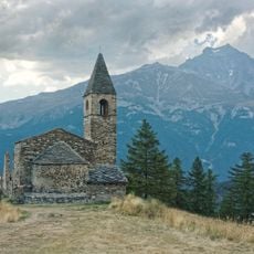
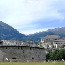
Aiguille de Scolette, Alpine summit in Cottian Alps, Italy

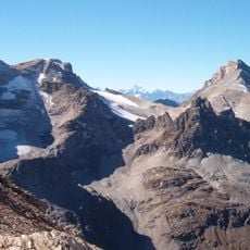
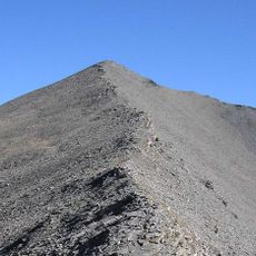
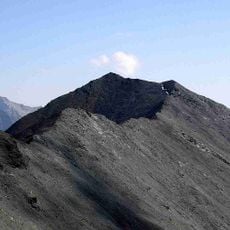
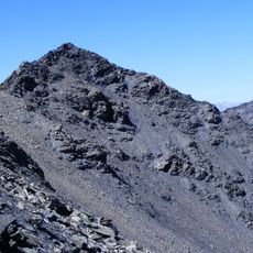
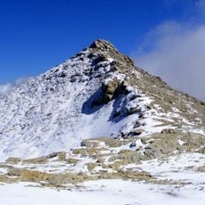
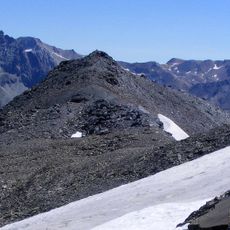
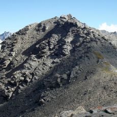
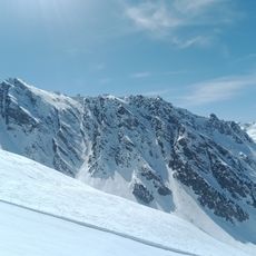
Aiguille de Scolette is a summit in the Cottian Alps standing at 3,506 meters. The mountain displays steep rock faces on both its northern and southern flanks, creating a dramatic profile when viewed from the valleys below.

The first documented ascent occurred in 1875 when Italian explorer Martino Baretti reached the summit. Since then the peak has become a known objective for mountaineers in the region.

The mountain carries two names reflecting its border location: Aiguille de Scolette on the French side and Pierre Menue on the Italian side. Visitors notice this cultural division when exploring the region.

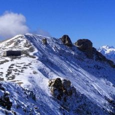
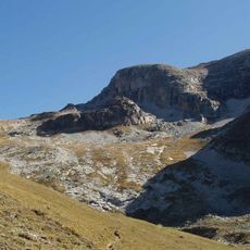
The summit is accessed via the Col de Pelouse route, which starts at the border area between Avrieux and Bardonecchia. Climbers should prepare for high alpine conditions and check weather forecasts before attempting the ascent.

The mountain is framed by two lakes at different elevations: Lake Rochemolles on the Italian side sits at 1,979 meters while Lake Scolette on the French side reaches 2,686 meters. This vertical separation creates distinct landscape zones visible during the climb.

The community of curious travelers

AroundUs brings together thousands of curated places, local tips, and hidden gems, enriched daily by 60,000 contributors worldwide.

Start exploring
GPS coordinates
45.15975,6.76820
Latest update
December 14, 2025 14:22
« Aiguille de Scolette - Alpine summit in Cottian Alps, Italy » is provided by Around Us (aroundus.com). Images and texts are derived from Wikimedia project under a Creative Commons license. You are allowed to copy, distribute, and modify copies of this page, under the conditions set by the license, as long as this note is clearly visible.

Discover hidden gems everywhere you go!

From secret cafés to breathtaking viewpoints, skip the crowded tourist spots and find places that match your style. Our app makes it easy with voice search, smart filtering, route optimization, and insider tips from travelers worldwide. Download now for the complete mobile experience.

Around Us App Screenshot

A unique approach to discovering new places

Le Figaro

All the places worth exploring

France Info

A tailor-made excursion in just a few clicks

20 Minutes

Around Us
Travel Guide & Maps
Download

Send to your phone

QR Code
1

Open the camera app on your mobile.

2

Point at the QR code with your camera. A notification will appear.

3

Tap the notification to open the link.