Monte Ambin, Mountain summit in Cottian Alps, France and Italy
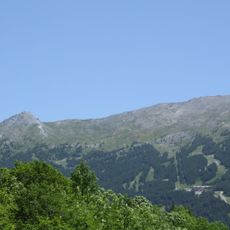
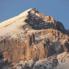
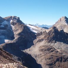
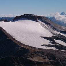
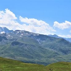
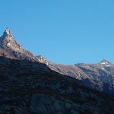
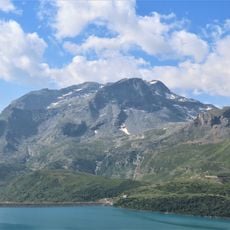
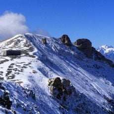
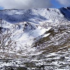
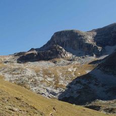
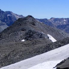
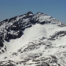
Monte Ambin (Pointe d'Ambin in French) is a 3,264-metre summit on the Dora-Arc watershed, on the border between Exilles in the Metropolitan City of Turin and Bramans in Savoie. A broad saddle at 3,224 m separates it to the south-west from Punta Sommeiller, while to the north-east an evident 3,250 m fore-summit precedes the steep drop to the Col d'Ambin (2,897 m). A ridge running north into French territory ends at the Grand Cordonnier (3,087 m). The photograph shows a single pointed peak of pale snow and grey-brown rock, with a dark rocky band on the upper right face below the apex.
Monte Ambin lies on the Dora-Arc watershed, the divide that today marks the border between Exilles in the Metropolitan City of Turin and Bramans in Savoie. The summit is separated from the Punta Sommeiller to the southwest by a broad saddle at 3,224 m, and to the northeast an evident secondary summit at 3,250 m precedes the steep descent to the Col d'Ambin at 2,897 m. A ridge branching north into French territory ends at the Grand Cordonnier, 3,087 m.
The mountain gives its name to the Ambin group of the Cottian Alps, and its French name is Pointe d'Ambin. The summit cross was placed in 2008 by the CAI climbing school of Asti, an Italian club from the Piedmont plain, not a local one. Ascents start from Grange della Valle on the Italian side, and the summit is a stop on the Dora-Arc watershed ridge.
Climbing requires advanced alpine skills and experience, especially on the steep north-facing routes. Conditions are typically best in warmer months when snow and ice are less prevalent on the slopes.
A small metal cross at the summit was installed by the Asti CAI climbing school in 2008. This simple marker draws climbers who reach the top and want to overlook the border region from this vantage point.
The community of curious travelers
AroundUs brings together thousands of curated places, local tips, and hidden gems, enriched daily by 92,937 contributors worldwide.