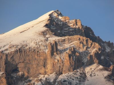
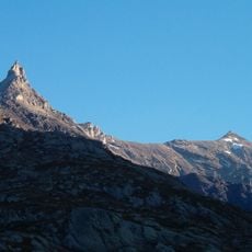
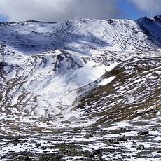
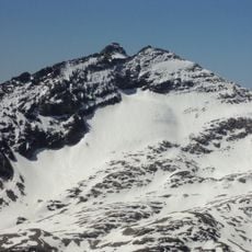
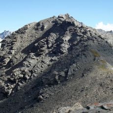
Monte Seguret, Alpine summit in Piedmont, Italy.
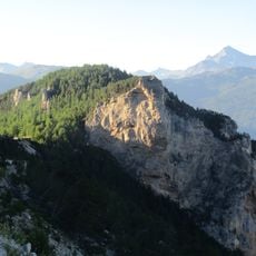
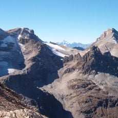
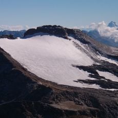
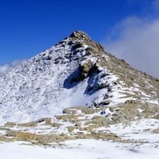
Monte Seguret is an Alpine peak in the Cottian Alps reaching 2926 meters (9601 feet) with rocky slopes and a layered terrain. Several hiking routes cross the mountain, each offering different pathways depending on visitor experience and chosen direction.
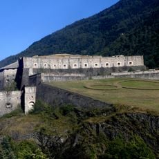
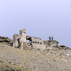
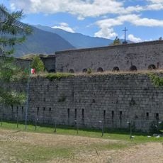
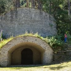
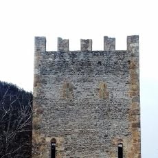
This peak served as a military observation point for controlling Alpine passages across multiple centuries, with defensive structures once standing on its slopes. These structures reveal how important mountain routes were to regional power and defense during earlier periods.
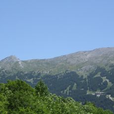
Local climbers have long knowledge of the routes crossing this summit and share their experience about seasonal conditions with other visitors. These pathways are woven into the mountain culture of the region, reflecting how people have moved through the Alps for centuries.
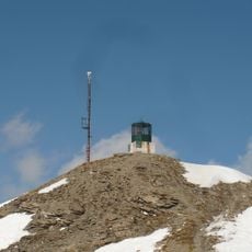
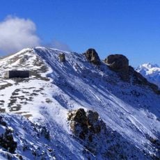
Climbing this peak requires proper equipment, good physical fitness, and experience with mountain terrain due to the technical difficulty of the routes. Weather can change rapidly at high altitude, so visitors should monitor conditions carefully before and during their ascent.
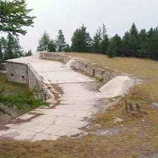
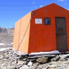
A tunnel system on the peak, called Galleria Monte Seguret, underwent structural changes in 2013 that altered access routes to the summit area. These modifications still affect how hikers approach and navigate the mountain today.
The community of curious travelers
AroundUs brings together thousands of curated places, local tips, and hidden gems, enriched daily by 60,000 contributors worldwide.