Punta Sommeiller, Mountain summit on the Italy–France border, Cottian Alps
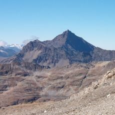
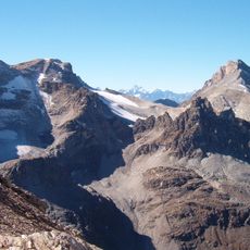
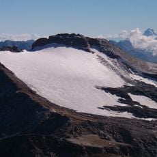
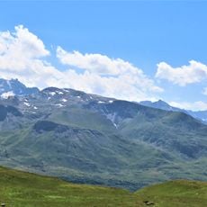
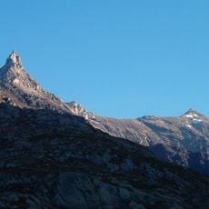
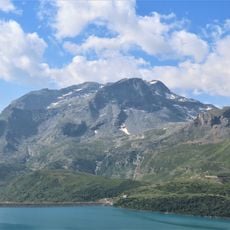
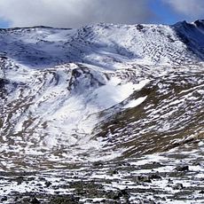
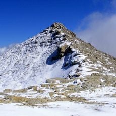
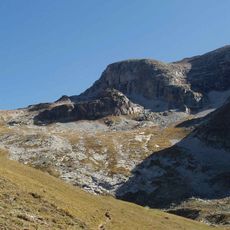
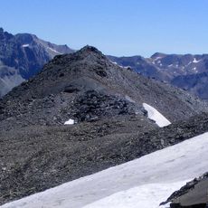
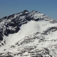
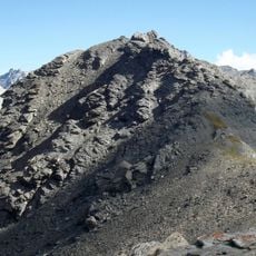
Pointe Sommeiller is a 3,333-metre summit on the border between Italy and France, divided between the Italian municipalities of Bardonecchia and Exilles and the French commune of Bramans. The summit holds a concrete pillar marking the Italian Military Geographic Institute geodetic point and a large stone cairn with a wooden stick. Several glaciers surround the mountain, all in marked retreat.
The summit was long called Rognosa di Galambra, after the Galambra valley above Exilles. The geologist Martino Baretti, who made the first documented ascent, renamed it to avoid confusion with the neighbouring Rognosa d'Etiache and Rognosa del Sestriere. The new name honours Germain Sommeiller, the engineer who directed the Fréjus Rail Tunnel works between Savoy and Piedmont.
The summit lies where three municipalities meet: Bardonecchia and Exilles in Italy and Bramans in France. The old name Rognosa di Galambra came from the Galambra valley, a tributary of the Dora Riparia; Martino Baretti renamed it to avoid confusion with two neighbouring Rognosas and to honour engineer Germain Sommeiller.
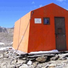
The easiest route starts at the Passo Settentrionale dei Fourneaux (3,159 m), which connects Exilles and Bardonecchia, then follows the south ridge to the summit. Support points are Rifugio Scarfiotti (2,165 m), Rifugio Levi Molinari (1,850 m), Bivacco Sigot (2,910 m) and Refuge d'Ambin (2,270 m). The north-east ridge can also be climbed from the Refuge d'Ambin over Monte Ambin.
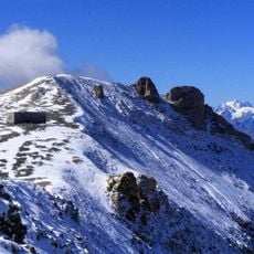
The summit carries a concrete pillar marking the geodetic point of the Italian Military Geographic Institute, coded Monte Sommeiller 054052, beside a large cairn with a wooden stick fixed in its middle. The peak is split between Bardonecchia and Exilles in Italy and Bramans in France.
The community of curious travelers
AroundUs brings together thousands of curated places, local tips, and hidden gems, enriched daily by 93,603 contributors worldwide.