Punta Galambra, Mountain peak in Piedmont, Italy
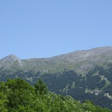
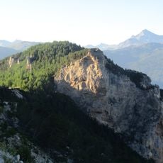
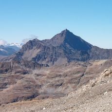
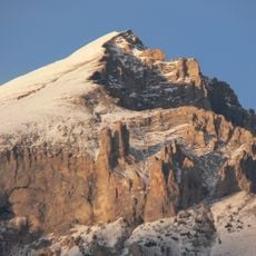
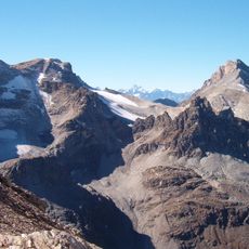
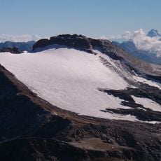
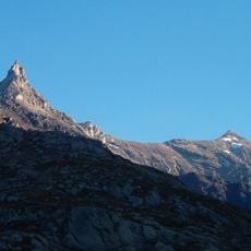
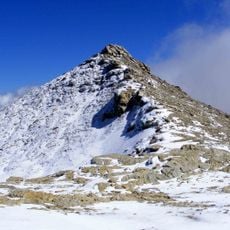
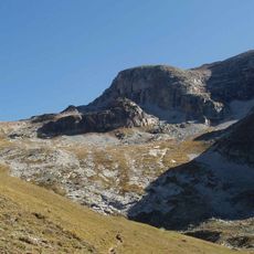
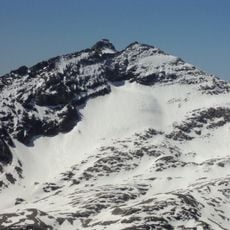
Punta Galambra is a mountain peak in the Cottian Alps reaching around 3,100 meters, marked by a steep limestone ridge at its summit. The peak rises between the Rochemolles and Valfredda valleys and features multiple secondary summits that shape its distinctive form.
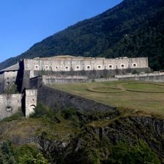
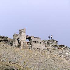
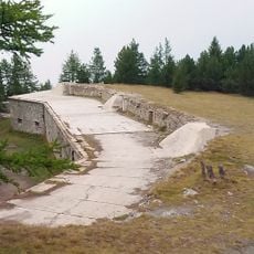
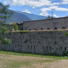
About 400 metres northeast of the summit, at 3,092 metres, stand the remains of the old Galambra military shelter, a stone refuge on the ridge between the Rochemolles and Valfredda valleys. The mountain's position near the Fourneaux and Galambra passes made it part of the high-altitude defence line of the Susa Valley.
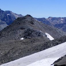
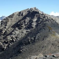
The detrital eastern fore-summit, a few metres lower than the rock spire, is where the municipal territories of Bardonecchia, Oulx and Exilles converge, together with the Rochemolles, Valfredda and Galambra valleys. Walkers on the connecting ridges can stand at this triple boundary point.
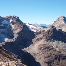
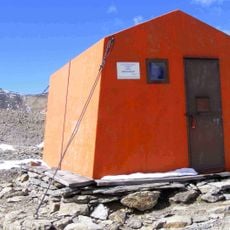
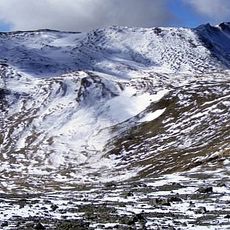
Access to the summit follows ridge routes connecting the Galambra and Fourneaux passes, crossing terrain covered with loose rock and debris. The Sigot bivouac provides shelter for climbers undertaking this demanding ascent.
The eastern fore-summit, a few metres lower than the rock spire, is where the territories of Bardonecchia, Oulx and Exilles meet, and where the Rochemolles, Valfredda and Galambra valleys converge. About 400 m northeast of the summit, at 3,092 m, stand the remains of the old Galambra military shelter.
The community of curious travelers
AroundUs brings together thousands of curated places, local tips, and hidden gems, enriched daily by 94,135 contributors worldwide.