Dents d'Ambin, Alpine summit in Savoie, France
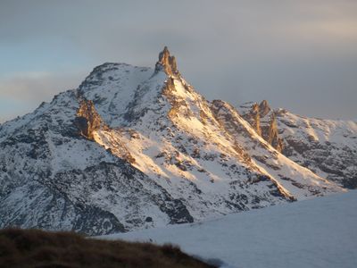
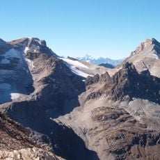
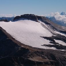
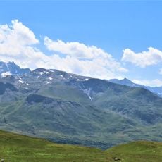
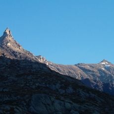
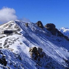
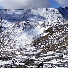
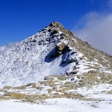
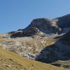
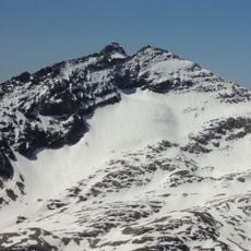
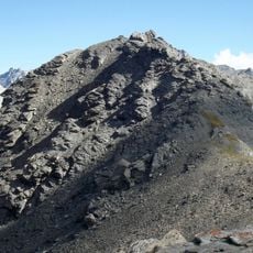
Dents d'Ambin is an alpine ridge featuring three prominent peaks formed from metamorphic rock along the French-Italian border in the Val-Cenis area. The highest point reaches 3,372 meters, creating a distinctive jagged profile when viewed from the surrounding valleys.
The mountain was first climbed on July 14, 1884, when Giovanni Gerra and guides Edoardo and Francesco Sibille reached the summit for the first time. This early climb marked the beginning of documented mountaineering history on this distinctive ridge.
The mountain carries different names on each side of the border: Dents d'Ambin in France and Denti d'Ambin in Italy, reflecting how communities near the frontier use their own languages. This naming difference shows how geography shapes local identity across the region.
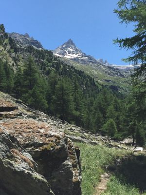
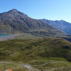
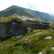
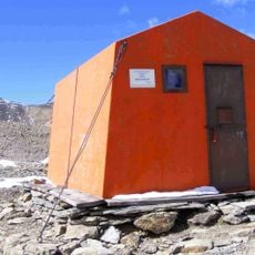
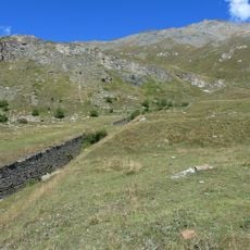
Climbers typically start from Rifugio Luigi Vaccarone and find the best conditions between June and September, when snow has melted and the routes are most accessible. Weather changes quickly at this elevation, so proper preparation and suitable alpine gear are essential for a safe visit.
The three peaks appear completely different depending on where you view them from: they look like separate teeth from the Susa Valley but merge into one continuous formation when seen from Colle del Piccolo Moncenisio. This visual transformation makes the mountain a captivating subject for photographers and hikers exploring the region.
The community of curious travelers
AroundUs brings together thousands of curated places, local tips, and hidden gems, enriched daily by 60,000 contributors worldwide.