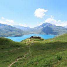
Mont Cenis Lake, Mountain reservoir in Lanslebourg-Mont-Cenis, France
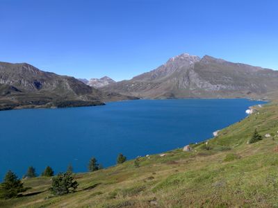
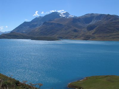
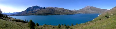
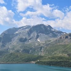
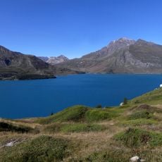
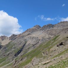
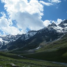
Mont Cenis Lake is a large reservoir in the French Alps at 1974 meters elevation. The water extends across almost seven square kilometers and is framed by the surrounding peaks of the Mont Cenis massif.
Électricité de France built the dam between 1962 and 1969 to generate hydroelectric power. After World War II, the area became part of France in 1947 through the Treaty of Paris, extending the Maurienne region considerably.
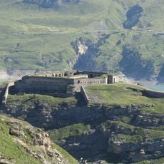
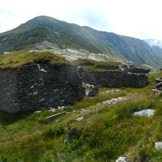
The reservoir sits on a historic route between France and Italy that has guided travelers and traders across the Alps for centuries. Today, visitors can walk along the shore and experience the silence of the high mountain landscape, broken only by the sound of the wind.
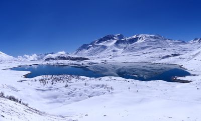
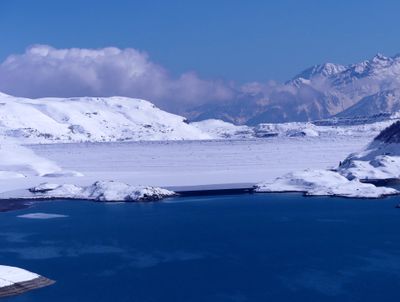
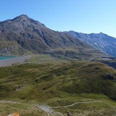
Anglers can purchase day permits on site and fish from the shore or a boat between June and October. In summer, the shoreline roads are usually free of snow and offer good conditions for walks with views of the water.
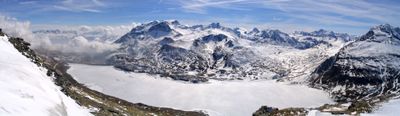
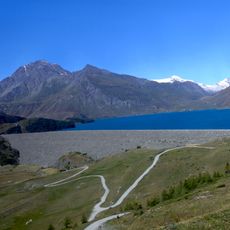
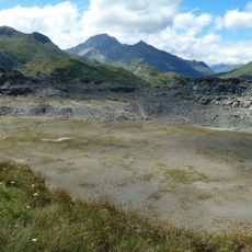
The dam is built from compacted earth instead of concrete because the rocky foundation did not allow for conventional construction. The structure extends over 1500 meters (4921 feet), making it one of the longest earth dams in the French Alps.
The community of curious travelers
AroundUs brings together thousands of curated places, local tips, and hidden gems, enriched daily by 60,000 contributors worldwide.