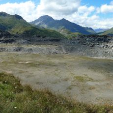
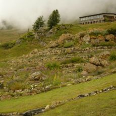
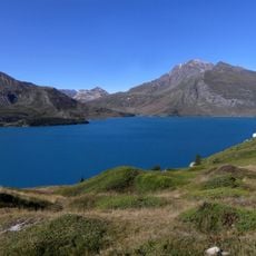
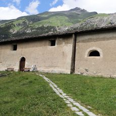
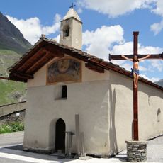
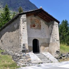
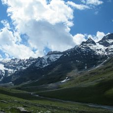
Signal du Grand Mont Cenis, Mountain summit in Val-Cenis, France.
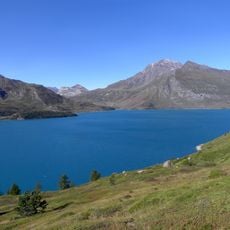
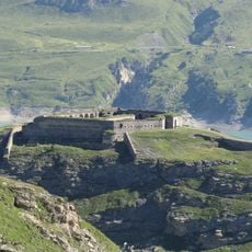
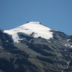
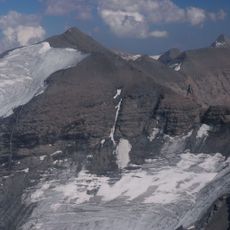
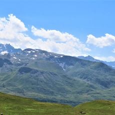
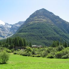
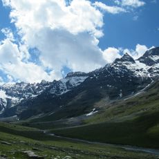
Signal du Grand Mont Cenis is a 3,377-metre summit in the Mont Cenis massif in Savoie, France. It forms a blunt, prominent head on the western ridge of the Pointe de Ronce, with a small cairn marking the highest point. The mountain sits on the watershed between the Rhône and Pô basins, overlooking the Lac du Mont-Cenis to the south and the Haute-Maurienne valley to the north.
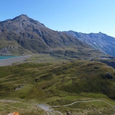
The summit lies on the watershed between the Rhône and Po basins, on the ridge between the Col du Mont-Cenis at 2,085 m and the Pointe de Ronce at 3,612 m, the highest point of the Mont-Cenis massif. It stands 1 km west of the Pointe de Ronce, 3 km above the Lac du Mont-Cenis and 7 km north of the French-Italian border, on French territory in Savoie. Its highest point is marked by a small stone cairn.
The summit marks the watershed between the Rhône and Pô basins: water on its northern side drains via the Arc and Isère toward the Rhône, while the southern side feeds the Cenise and the Doire Ripaire. Its highest point is marked by a small cairn (steinmann), a landmark walkers look for on the crest.
Reaching the summit requires experience, good physical fitness, and specialized equipment like ropes and ice axes. The best conditions occur during summer months when snow melts and days are longer.
The summit's highest point is marked by a small stone cairn (Steinmann), not a memorial. The peak is a blunt, pronounced head on the western ridge of the Pointe de Ronce, 1 km west of that higher summit and 3 km northeast above the Lac du Mont-Cenis.
The community of curious travelers
AroundUs brings together thousands of curated places, local tips, and hidden gems, enriched daily by 94,658 contributors worldwide.