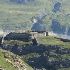
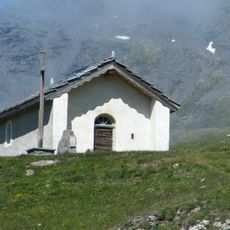
Forte Roncia, Military fortification in Val-Cenis, France
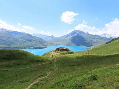
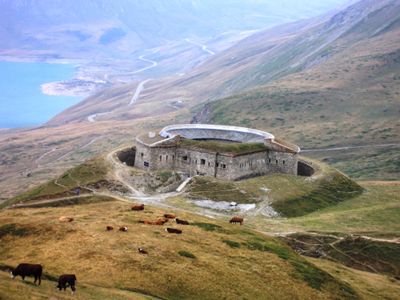
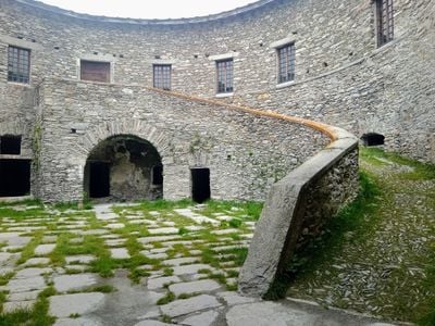
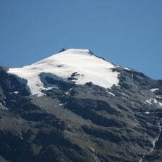
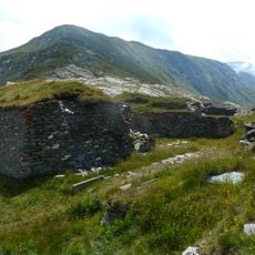
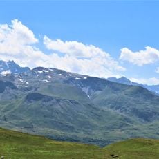
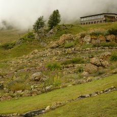
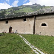
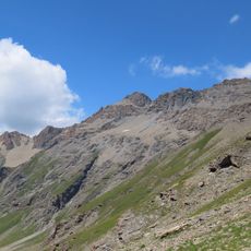
Forte Roncia is a fortified military installation located at about 2300 meters elevation in the French Alps, built with thick stone walls and underground gun casements. The structure features a central courtyard arrangement designed to house artillery and provide defensive protection on all sides.
The fort was built by Italy between 1877 and 1880 to protect its eastern frontier in the high mountains. Control passed to France following World War II through the 1947 Paris Treaty, making it part of the French border defense system.
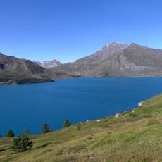
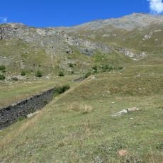
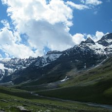
The name comes from a nearby mountain pass and reflects its origins as an Italian military installation high in the Alps. Visitors can observe how the structure was designed to dominate the valley below and control mountain access routes.
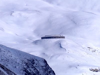
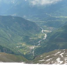
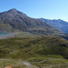
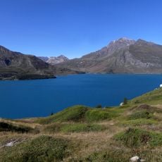
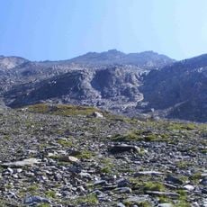
The fort sits at high elevation on a steep location and is reached on foot via mountain trails that require stamina and proper hiking boots. Local tourist information centers provide current details about seasonal accessibility, especially important during winter months when snow can limit access.
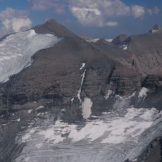
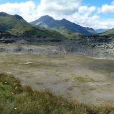
The fort houses specialized Skoda 100/17 artillery pieces, rare examples of Austro-Hungarian weapons technology that reveal the international military engineering of that era. Close observation of the gun casements shows design details that share principles with the later Maginot Line system, though built decades earlier.
The community of curious travelers
AroundUs brings together thousands of curated places, local tips, and hidden gems, enriched daily by 60,000 contributors worldwide.