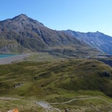
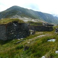
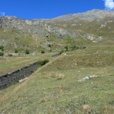
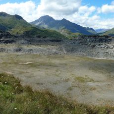
Pointe de Ronce, Mountain summit in Savoie, France.
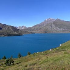
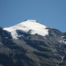
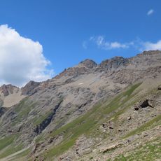
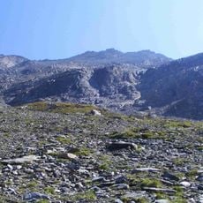
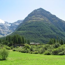
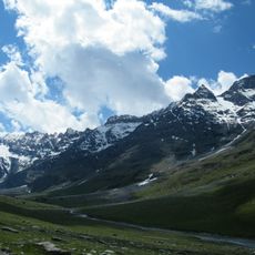
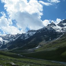
Pointe de Ronce is the highest summit of the Mont Cenis range in Savoie, reaching 3,612 m east of the road to the pass. Its northern slopes hold the Arcelle Neuve and Vieux glaciers, while the Plan des Cavales cirque opens west toward Lac du Mont-Cenis. A long ridge runs south-east to Pointe du Lamet (3,504 m) and Roche Michel (2,885 m).
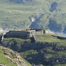
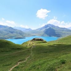
Pointe de Ronce lies on the border between the Maurienne valley and the Val di Susa, but the Treaty of Paris of 1947 incorporated it, like most of the Mont-Cenis massif, into French territory. The summit is reached from the Lake of Mont-Cenis via Plan des Fontainettes, the Fort de Ronce, the Col du Lou at 3,042 m and the Signal du Grand Mont-Cenis at 3,377 m.
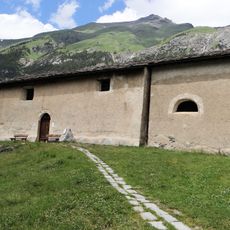
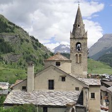
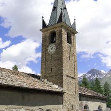
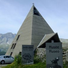
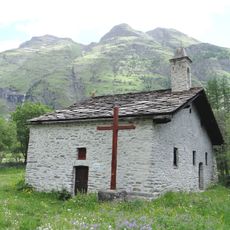
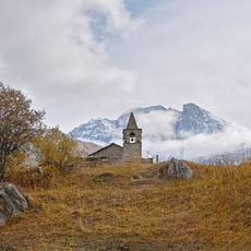
The usual route to the summit starts at Lake of Mont-Cenis and passes Plan des Fontainettes, at 2,090 m, where a pyramid-shaped church marks the trailhead. From there the path continues to Fort de Ronce before turning north toward Col du Lou.
The climb requires alpine gear including ice axes and crampons, particularly for navigating glaciated terrain on the northern slopes. Summer months offer better conditions, though weather can change quickly in the high mountains.
From the summit a long ridge runs south-east to Pointe du Lamet (3,504 m), Roche Michel (2,885 m) and on toward Rocciamelone. The usual descent follows this line past Pointe du Lamet down to the Lac du Mont-Cenis, so the climb can be done as a through-route rather than retracing the ascent.
The community of curious travelers
AroundUs brings together thousands of curated places, local tips, and hidden gems, enriched daily by 95,350 contributors worldwide.