Punta Marmottere, Mountain summit in Graian Alps, France and Italy
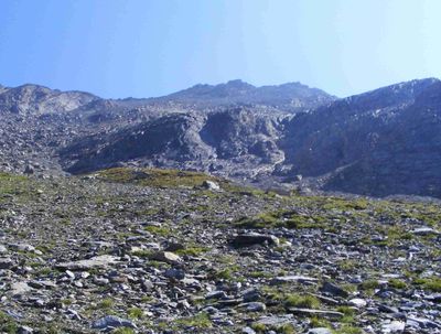
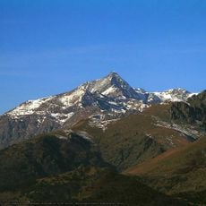
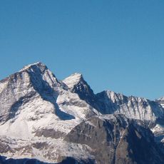
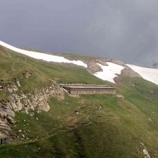
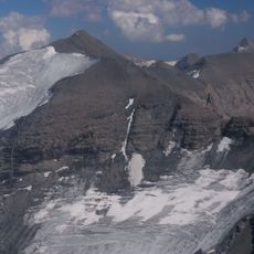
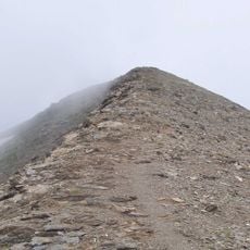
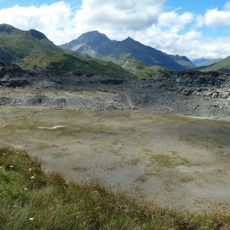
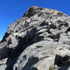
Punta Marmottere is a mountain summit in the Graian Alps that rises to 3,384 meters and marks a natural border between the French department of Savoie and the Turin metropolitan area. The two sides of the peak display distinct geological features and vegetation zones that shift with increasing elevation.
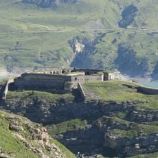
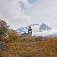
The peak has long served as a natural boundary marker between French and Italian territory, with local communities using its paths for cross-border passages over generations. The two nations later formalized this geographic line through international agreements.
Mountain guides from both French and Italian sides maintain traditional climbing techniques specific to this peak, passing their knowledge to new generations.
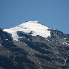
The climb requires solid mountaineering experience and specialized equipment such as ropes and crampons for safe progress. Visitors should start early in the day, check weather conditions beforehand, and familiarize themselves with marked routes from either side.
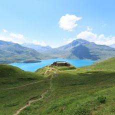
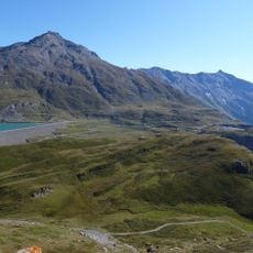
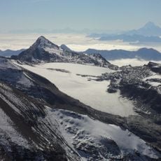
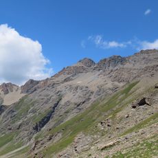
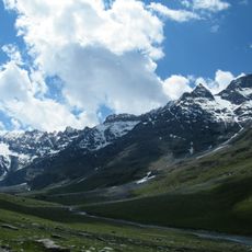
On clear days, the summit offers simultaneous views of both French and Italian landscapes, ranging from the distant Mont Blanc massif to the gentle Piedmont plains below. This panoramic perspective provides a rare vantage point where two nations are visible at once, emphasizing the geographic significance of this location.
The community of curious travelers
AroundUs brings together thousands of curated places, local tips, and hidden gems, enriched daily by 60,000 contributors worldwide.