Enable Location

We need your location to show you interesting places around you

Discover nearby places

Find interesting locations and hidden gems around you

Precise directions

Get accurate directions and distances to places

Your location is never shared with other users. It's only used when you tap the location button.

Ouille d'Arbéron

Log in to your account

Start exploring — it's free

Trusted by 61,555 travelers worldwide

Continue with Google
Continue with Apple
or

We will send you a code to connect

By continuing, you accept our Terms and Conditions and our Privacy Policy

Check your inbox

We've sent a pincode in your inbox. Please enter the code below.

Ouille d'Arbéron

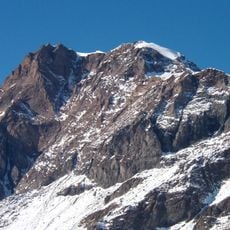
Ouille d'Arbéron, Mountain summit between Savoie, France and Piedmont, Italy

Description

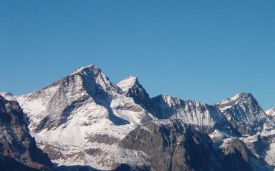
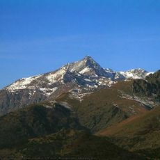
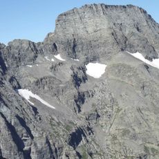
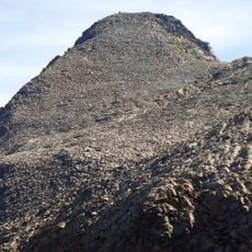
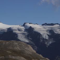
Ouille d'Arbéron is a summit in the Graian Alps that rises to 3,560 meters and forms the natural border between France and Italy. The peak features distinct rock layers including schist, serpentinite, and gneiss that make up its structure.

History

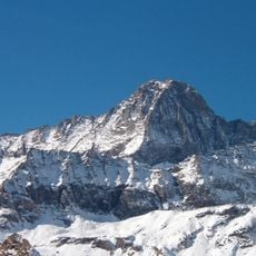
The mountain formed approximately 30 million years ago during major geological shifts in the Alps. This ancient geological history shaped the diverse rock composition and current form of the summit.

Culture

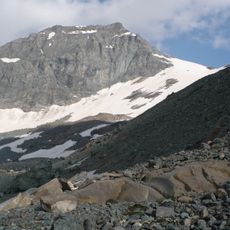
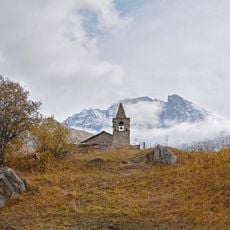
The summit is known by two names reflecting its location on the French-Italian border: Ouille d'Arbéron in French territory and Punta d'Arnas in the Italian Alps. This dual naming shows how mountains in this region have been shaped by the cultures on either side.

Practical

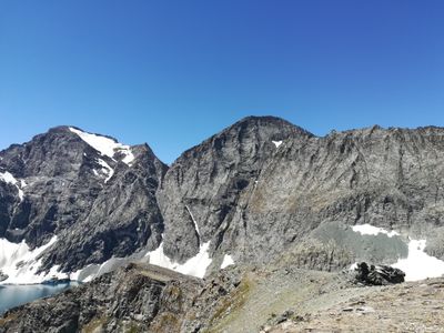
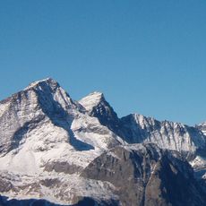
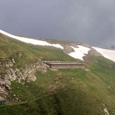
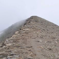
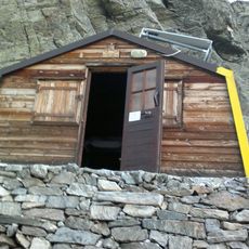
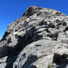
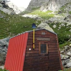
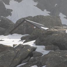
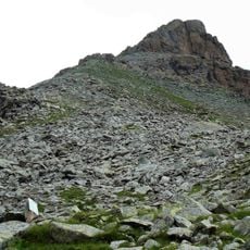
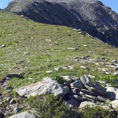
Reaching the summit requires mountaineering skills and proper preparation since the ascent is challenging. Two mountain refuges serve as base camps: the Avérole Refuge at 2,210 meters and the Luigi Cibrario Refuge at 2,616 meters, both offering shelter and orientation for climbers.

Did you know?

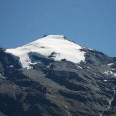
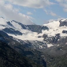
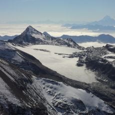
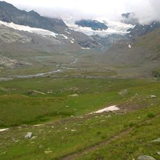
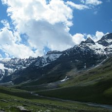
Climbers crossing toward the summit pass through the Col de la Valette at 3,212 meters before encountering the Bouanet Glacier at 2,900 meters. This glacier passage is a distinctive feature of the climb and shapes the overall route experience.

Location
Location
Elevation above the sea
3,560 m
Part of
France–Italy border
GPS coordinates
45.27127,7.12928
Latest update
December 14, 2025 20:30

AroundUs brings together thousands of curated places, local tips, and hidden gems, enriched daily by 60,000 contributors worldwide. Discover all places nearby (Savoie).

« Ouille d'Arbéron - Mountain summit between Savoie, France and Piedmont, Italy » is provided by Around Us (aroundus.com). Images and texts are derived from Wikimedia project under a Creative Commons license. You are allowed to copy, distribute, and modify copies of this page, under the conditions set by the license, as long as this note is clearly visible.

Discover hidden gems everywhere you go!

From secret cafés to breathtaking viewpoints, skip the crowded tourist spots and find places that match your style. Our app makes it easy with voice search, smart filtering, route optimization, and insider tips from travelers worldwide. Download now for the complete mobile experience.

Around Us App Screenshot

A unique approach to discovering new places

Le Figaro

All the places worth exploring

France Info

A tailor-made excursion in just a few clicks

20 Minutes

Around Us
Travel Guide & Maps
Download

Send to your phone

QR Code
1

Open the camera app on your mobile.

2

Point at the QR code with your camera. A notification will appear.

3

Tap the notification to open the link.