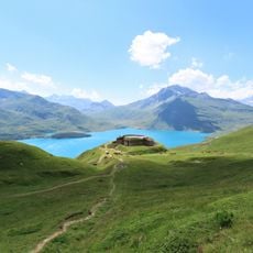
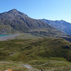
Mont Giusalet, Mountain summit in Savoie, France
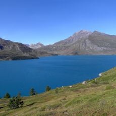
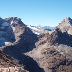
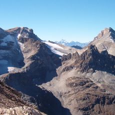
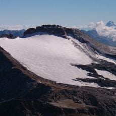
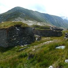
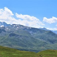
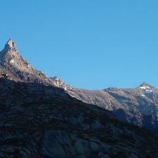
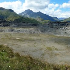
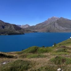
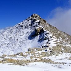
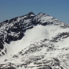
Mont Giusalet is a mountain summit in the Cottian Alps reaching 3313 meters, with a rocky southern face and a glacier-covered northern slope. The formation creates a ridge running roughly 1 mile from east to west with two distinct peaks.
The mountain became fully French through boundary changes established by the 1947 Treaty of Paris between France and Italy. This agreement determined the mountain's position within French Alpine territory.
The name Giusalet derives from Ciusalet, from the Piedmontese ciusa, meaning enclosure or closure. The eastern summit carries an iron cross, and the mountain is also called pointe du Clèry in French mountaineering literature. Its summit overlooks the hamlet of Bard in the Susa Valley, Italy.
Two approach routes exist: from Rifugio Avanzà, passing Lago della Vecchia, the south face is climbed; from Rifugio Piero Vacca, the north face. The summit ridge runs about one kilometre east-west, with an iron cross on the eastern top. The mountain lies entirely in France, though its top is seen across the lower Val di Susa and the Po plain.
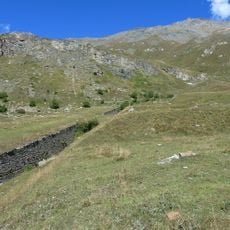
The summit lies on the watershed between the Adriatic and Mediterranean seas, on the hydrographic right of the Mont-Cenis combe. Its slopes carry veins of rhyolite among blue schist, green schist, micaschist and quartzite, and gneiss is common on the south flank and at the base of the massif.
The community of curious travelers
AroundUs brings together thousands of curated places, local tips, and hidden gems, enriched daily by 94,658 contributors worldwide.