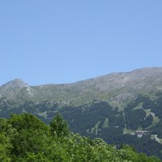
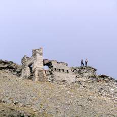
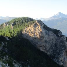
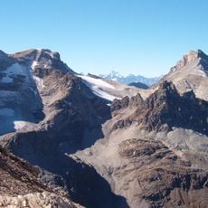
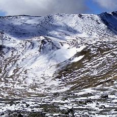
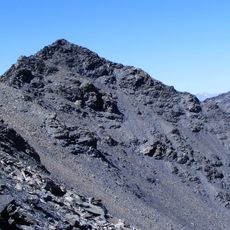
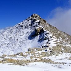
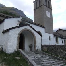
Gros Peyron, Mountain summit in the Cottian Alps, Piedmont and Auvergne-Rhône-Alpes, France and Italy
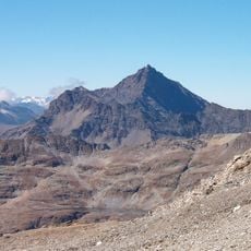
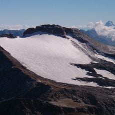
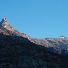
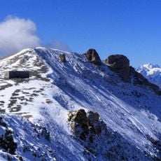
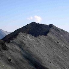
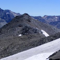
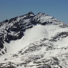
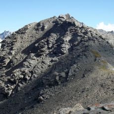
Gros Peyron is a mountain summit in the Cottian Alps standing at 3047 meters (9997 feet) high. It forms a natural border between the Piedmont region in Italy and the Auvergne-Rhône-Alpes region in France.
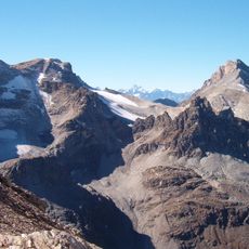
The summit lies on the Dora-Arc watershed, the divide between the Maurienne at Modane and the upper Susa valley at Bardonecchia. To the south-east the Passo dei Rochers Cornus (2,974 m) separates it from the Rochers Cornus and the Rognosa d'Etiache; to the north-west the Col d'Etiache (2,799 m) divides it from the group culminating in the Pierre Menue. Its north-eastern slope overlooks the basin that once held the small Etiache glacier.
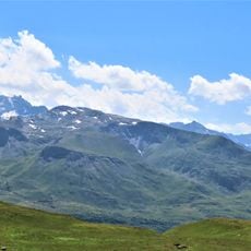
The name Peyron probably derives from the local term for a rocky peak, and the mountain appears on Italian IGM maps at 1:25,000 and 1:100,000 and on French IGN maps. On the French side, the normal route from Bramans crosses the Col d'Etiache through a broad pastoral valley still used for grazing.
The climb requires mountaineering skills and proper alpine gear due to steep and exposed sections along the route. Weather at this elevation changes rapidly, so checking conditions beforehand and being prepared to turn back if needed are essential precautions.
The summit has two rounded elevations separated by a shallow saddle at 3,029 m: the 3,041 m point lies to the northeast, while the true top at 3,047 m is to the southwest, above the Vallone di Rochemolles. A crest runs north from the summit to the Pic du Diable (2,926 m), entirely on French soil.
The community of curious travelers
AroundUs brings together thousands of curated places, local tips, and hidden gems, enriched daily by 92,887 contributors worldwide.