Mont Rond, Mountain peak in Villarodin-Bourget, France
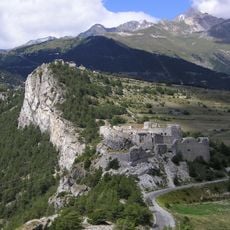
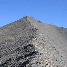
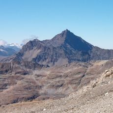
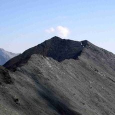
Mont Rond is a mountain in the French Alps, rising to 2,585 metres above sea level. It lies in the commune of Villarodin-Bourget, about 4 km east of Modane, and its slopes are mostly steep alpine terrain, with a higher summit of 2,953 metres standing 1.1 km to the northeast.
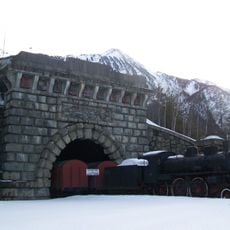
Mont Rond rises to 2,585 metres in the Vanoise massif, 3.9 km south of Modane, on the border of Villarodin-Bourget. The summit overlooks the valley of the Arc, where the Fréjus road and rail tunnels, opened in 1871 and 1980, carried traffic between France and Italy beneath the passes. The mountain's slopes are tundra-climate terrain, with the nearest higher summit, at 2,953 metres, standing 1.1 km to the northeast.
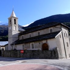
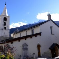
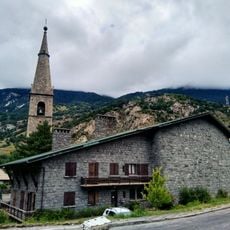
Mont Rond rises above Villarodin-Bourget, a Savoie commune whose built heritage includes the Baroque church of Saint-Pierre; the mountain's slopes and the surrounding alpine pastures have long been worked by the valley's farming families. The summit is a landmark for the village below, and the tundra climate, with an average of 0 °C, shapes the short grazing season on its flanks.
Mont Rond lies about 4 km east of Modane, in Villarodin-Bourget, and the surrounding slopes are mostly steep alpine terrain. The local climate is tundra-like, with an average temperature of 0 °C and July highs near 13 °C, so snow and ice can persist. Plan for cold, changeable conditions at altitude.
Mont Rond lies about 4 km from Modane, and the land within a kilometre of the summit rises to 2,953 m, so the peak sits below higher ground to its east. The surrounding slopes are mostly bare rock and sparse alpine grassland, with only about 19 inhabitants per square kilometre in the valleys below.
The community of curious travelers
AroundUs brings together thousands of curated places, local tips, and hidden gems, enriched daily by 93,647 contributors worldwide.