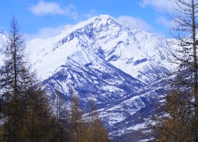
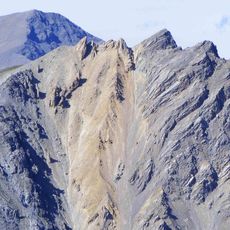
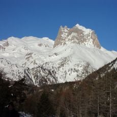
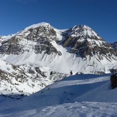
Punta Nera, Mountain summit in Cottian Alps, France and Italy.
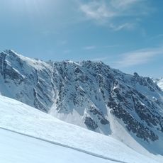
Punta Nera is a mountain summit in the Cottian Alps with two distinct peaks joined by a saddle between them. The higher peak reaches 3,047 meters while the connecting ridge sits at approximately 3,017 meters.
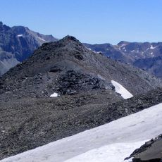
The name Punta Nera translates to Black Summit, referencing the dark schist rocks that form the slopes facing the Susa Valley. Over millions of years, geological forces shaped this mountain into its current form.
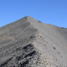
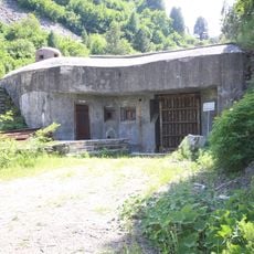
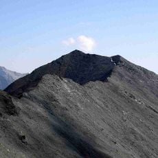
The eastern subsummit features a metal cross that mountaineers from Bardonecchia recognize as a landmark on their ascent. This symbol marks a meaningful waypoint for those crossing the Alps.
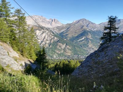
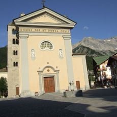
Access is available from the Italian side via Grange della Rho near Bardonecchia or from the French side through Valfréjus near Modane. Both routes require good hiking experience and stamina for the multi-hour ascent.
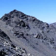
The mountain marks the highest point of the Dora-Arc water divide, which extends between Colle della Rho and Col du Fréjus. This border line separates two major river valleys in the southern Alps.
Location: Savoie
Location: Metropolitan City of Turin
Elevation above the sea: 3,047 m
GPS coordinates: 45.12050,6.66235
Latest update: December 14, 2025 20:03
Bramafam Fort
6.7 km
Rocca Bernauda
3.5 km
Pointe du Fréjus
2.6 km
Ouvrage Le Lavoir
3.6 km
Ouvrage Pas du Roc
2.3 km
Ouvrage Saint-Antoine
5.2 km
Punta Quattro Sorelle
5.4 km
Grand Séru
6 km
Sant'Ippolito
5.2 km
Pointe de Paumont
5.6 km
Punta Bagnà
4.7 km
Pointe Balthazar
3.6 km
Cima Gardiola
6.1 km
Punta Gasparre
5.3 km
Cappella Notre Dame du Coignet
6.7 km
Ancienne entrée du tunnel ferroviaire du Fréjus, coté français
7.8 km
Tur d'Amun
4.9 km
Cappella di San Sisto
7.9 km
Chiesa parrocchiale di Sant'Antonio Abate
6.9 km
Palazzo delle Feste
5.6 km
Cappella Notre Dame du Coignet
6.7 km
Chiesa parrocchiale di San Pietro Apostolo
6.6 km
Église Notre-Dame de Fourneaux
7.7 km
Cappella della Madonna del Carmine
6.9 km
Chiesa di Sant'Andrea Apostolo
7.1 km
Chapelle Notre-Dame-du-Charmaix de Valfréjus
6.4 km
Mont Rond
6.3 km
Pian del Colle
8 kmVisited this place? Tap the stars to rate it and share your experience / photos with the community! Try now! You can cancel it anytime.
Discover hidden gems everywhere you go!
From secret cafés to breathtaking viewpoints, skip the crowded tourist spots and find places that match your style. Our app makes it easy with voice search, smart filtering, route optimization, and insider tips from travelers worldwide. Download now for the complete mobile experience.
A unique approach to discovering new places❞
— Le Figaro
All the places worth exploring❞
— France Info
A tailor-made excursion in just a few clicks❞
— 20 Minutes