Guglia Rossa, Mountain summit in Hautes-Alpes department, France
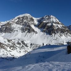
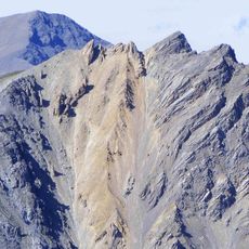
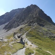
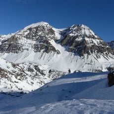
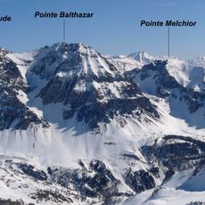
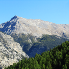
Guglia Rossa (Aiguille Rouge) is a 2,545-metre summit in the Cottian Alps, in the commune of Névache, Hautes-Alpes. It stands just west of the Col de l'Échelle, between the Vallée Étroite and the Vallée de la Clarée. The face towards Italy is very steep and rocky, while the Névache side is reached by a good footpath. The summit cone shows bare pale-grey rock with a diagonal band of reddish and pinkish stone, and conifers grow on the lower slopes.
The mountain marked the border between France and Italy until 1947, when the Paris Peace Treaties redrew territorial boundaries. After this shift, it remained entirely within French territory.
The names in both languages describe the peak's shape and colour: French aiguille (needle) and rouge (red), Italian guglia (spire) and rossa (red). The reddish and pinkish band of stone visible across the upper face is what the names refer to. The summit is climbed from the French side by hikers on a good footpath, while the Italian face is left to experienced rock climbers.
The main approach to the summit starts from Col de l'Échelle and follows marked trails across varied mountain terrain. This route is most passable during summer months when snow clears from the paths.
The peak's French and Italian names both mean "red needle" or "red spire", taken from the reddish-pink band of stone that crosses the bare summit cone above the larch and fir woods. The mountain lay on the Franco-Italian border until the 1947 Paris Peace Treaties moved the line, leaving it wholly in France.
The community of curious travelers
AroundUs brings together thousands of curated places, local tips, and hidden gems, enriched daily by 94,070 contributors worldwide.