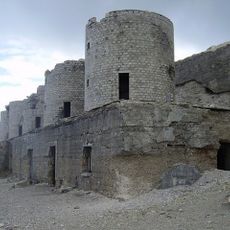
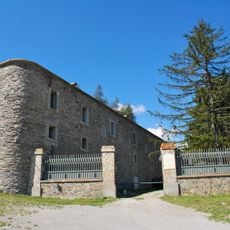
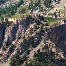
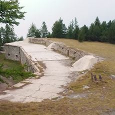
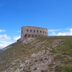
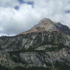
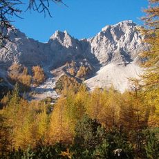
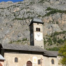
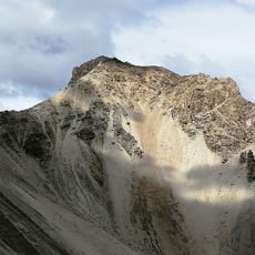
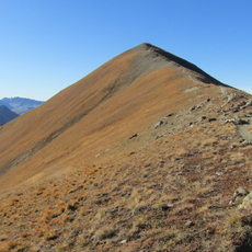
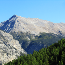
Punta Charrà, Mountain summit in Hautes-Alpes, France and Piedmont, Italy.
Punta Charrà is a summit on the border between France and Italy reaching about 2800 meters with equipped rock passages for climbers. The mountain features steep rock faces, climbing routes with iron rungs, and provides panoramic views across the surrounding Alps.
Punta Charrà lies on the border between Italy and France, in the Chaberton group, and its summit ridges descend to the Col des Acles (2,273 m) and the Col des Sanità (2,629 m). The mountain's equipped route, the Ferrata degli Alpini, crosses the Italian north face diagonally from the Passo della Mulattiera (2,412 m) to the Passo della Sanità, linking the two border passes.
The mountain's name appears in two forms: Punta Charrà in Italian and Sommet du Charrà in French, reflecting the border that runs along its western ridge. The equipped route crossing the Italian face is called the Ferrata degli Alpini, after the Alpine troops; walkers reach it from the Passo della Mulattiera and follow it to the Passo della Sanità.
The hike begins near Névache and requires about 5500 feet (1700 meters) of elevation gain for a rewarding round trip. The best time to climb is June through September when snow and ice in the higher elevations are minimal.
The equipped route crossing the Italian face is the Ferrata degli Alpini, which runs diagonally from the Passo della Mulattiera (2,412 m) to the Passo della Sanità (2,629 m). From the pass, the summit is reached by the east ridge, which continues along the French border toward the Guglia d'Arbour (2,803 m).
The community of curious travelers
AroundUs brings together thousands of curated places, local tips, and hidden gems, enriched daily by 94,109 contributors worldwide.