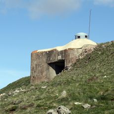
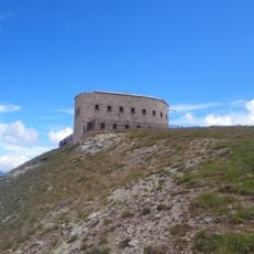
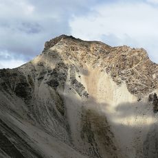
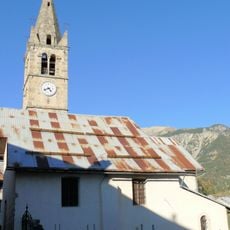
Tête des Fournéous, Alpine summit in Hautes-Alpes, France.
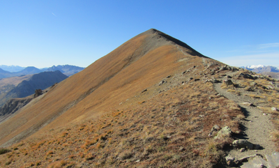
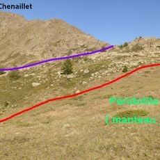
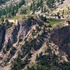
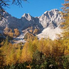
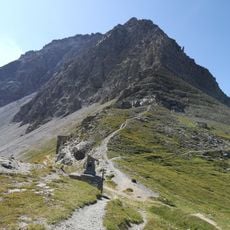
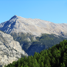
Tête des Fournéous is a mountain peak in the Hautes-Alpes standing at 2682 meters with panoramic views across rocky ridges and alpine terrain. The route combines forests and open high pastures, creating varied landscape along the way up.
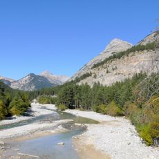
The mountain lies within the Cottian Alps, which formed the natural border between France and Italy for centuries. This location shaped the region's role as a passageway and influenced settlement patterns in the valley below.
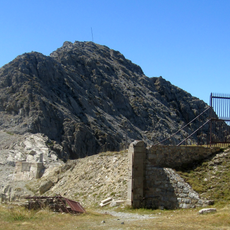
Local mountaineering groups maintain the network of marked trails, including the GR5 path that connects multiple peaks in the Hautes-Alpes region.
The climb demands solid mountain walking experience and sturdy footwear for steep sections with loose ground and scree. Weather conditions change rapidly at this elevation, so visitors should prepare for wind and sudden weather shifts.
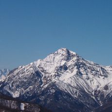
On clear days, walkers can see both the French and Italian Alpine systems from the summit, revealing how close these two major mountain ranges sit to each other. This dual perspective is possible from few locations and makes the spot especially rewarding for those interested in geography.
The community of curious travelers
AroundUs brings together thousands of curated places, local tips, and hidden gems, enriched daily by 60,000 contributors worldwide.