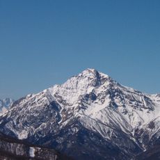
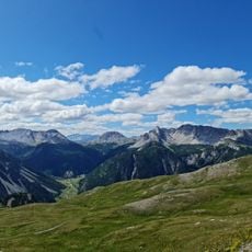
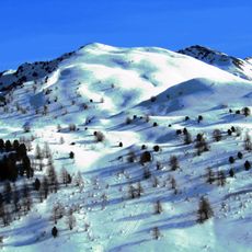
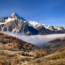
Mont Chenaillet, Mountain summit in Hautes-Alpes, France.
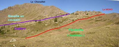
Mont Chenaillet is a summit in the Hautes-Alpes department of France, sitting at the crossroads of three valleys: Susa, Durance, and Cerveyrette. The mountain is made up of ophiolite rocks, remnants of an ancient ocean floor that was pushed upward during the formation of the Alps.
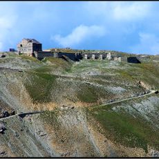
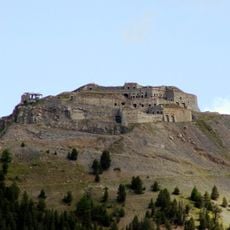
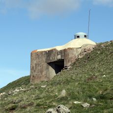
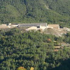
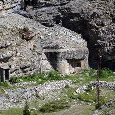
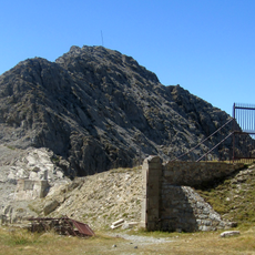
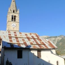
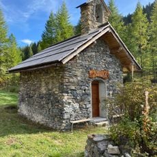
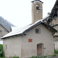
Mont Chenaillet marked the border between France and Italy for centuries and was used as a military zone from the 17th century through World War II. The fortifications built during that long period are still visible on the mountain today.
The mountain draws geologists and students who come to observe its pillow lavas up close, some of the most visible in the Alps. Walking among these formations gives a direct sense of how the ocean floor once looked before it was pushed above ground.
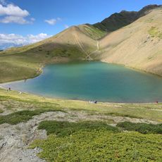
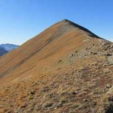
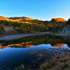
The ascent starts near the La Chau farms and follows marked trails that pass by mountain lakes on the way up. Good hiking boots and warm layers are recommended since weather at this elevation can change quickly.
The pillow lavas on Mont Chenaillet are around 155 million years old and come from the Tethys Ocean, a body of water that once separated Europe from Africa. That ocean has completely disappeared, and what remains of it can now be seen as rock on the surface of this mountain.
The community of curious travelers
AroundUs brings together thousands of curated places, local tips, and hidden gems, enriched daily by 60,000 contributors worldwide.