Cima Saurel, Mountain peak in Cottian Alps, France and Italy
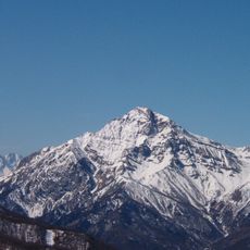
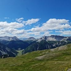
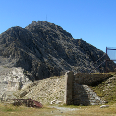
Cima Saurel is a mountain peak in the Cottian Alps that marks the natural border between Piedmont and the Hautes-Alpes. It rises to 2,451 meters and forms part of the high ridge system that shapes this alpine frontier zone.
The mountain has served as a key geographical reference since the establishment of the French-Italian border in this alpine zone. Its position made it an important landmark for defining and managing the boundary between the two regions.
Local mountaineering groups from both French and Italian sides organize regular expeditions to maintain traditional climbing routes across the mountain slopes.
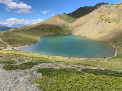
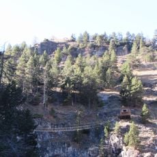
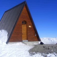
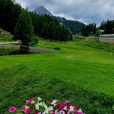
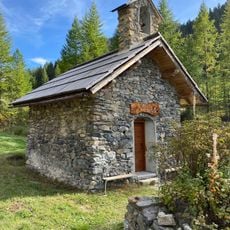
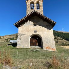
The ascent starts from Le Laus at 1,746 meters, where parking is available and marked trails begin. The routes vary in difficulty depending on the season and are accessible to hikers with different experience levels.
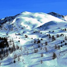
The north-facing slope accumulates deeper snow in winter than the south-facing side, creating different conditions for skiers on each flank. This natural asymmetry influences the choice of best season for different activities on the mountain.
Location: Metropolitan City of Turin
Location: Hautes-Alpes
Elevation above the sea: 2,451 m
GPS coordinates: 44.90349,6.77112
Latest update: December 14, 2025 20:00
Mont Chaberton
7 km
Fort of Mount Chaberton
7 km
Mont Chenaillet
2.4 km
Ponte tibetano Cesana Claviere
4.4 km
Ouvrage Janus
4.8 km
Fort de l'Infernet
6.8 kmSommet des Anges
4.6 km
Cima del Bosco
7 km
Ouvrage Gondran
5.5 km
Ouvrage Les Aittes
3.7 km
Forte di Champlas Séguin
6.8 kmMonte Gimont
1.5 km
Obélisque Napoléon
4.7 km
Téléphérique de Terre Rouge
7.4 km
Cima Fournier
2.8 km
Église Saint-Maurice de Montgenèvre
4.9 km
Sommet de Château Jouan
5 km
Église Saint-Michel de Cervières
5.4 km
Chapelle Notre-Dame-des-Sept-Douleurs de Montgenèvre
5 km
Chapelle Saint-Roch de Montgenèvre
4.8 km
Golf Club Claviere
4 km
Église Saint-Michel-et-Saint-Mammès de Cervières
5.5 km
Golf International de Montgenèvre
4.5 km
Chapelle Saint-Claude de Prafauchier
4.5 km
Town hall of Cesana Torinese
5.7 km
Chapelle Saint-Gervais-et-Saint-Protais du Blétonnet
6.7 km
Chapelle Saint-Pierre du Bourget
3.2 km
Chapelle Saint-Jean-Baptiste du Laus
6.4 kmVisited this place? Tap the stars to rate it and share your experience / photos with the community! Try now! You can cancel it anytime.
Discover hidden gems everywhere you go!
From secret cafés to breathtaking viewpoints, skip the crowded tourist spots and find places that match your style. Our app makes it easy with voice search, smart filtering, route optimization, and insider tips from travelers worldwide. Download now for the complete mobile experience.
A unique approach to discovering new places❞
— Le Figaro
All the places worth exploring❞
— France Info
A tailor-made excursion in just a few clicks❞
— 20 Minutes