Sommet des Anges, Alpine summit in Hautes-Alpes, France.
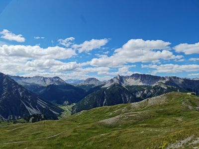
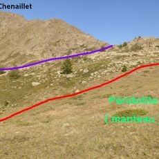
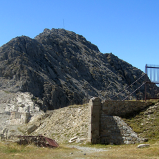
The Sommet des Anges sits at 2,465 meters (8,087 feet) elevation at the intersection of Montgenèvre, Cervières, and Val-des-Prés municipalities in the French Alps. The summit occupies a location with multiple ridges and alpine meadows extending across the landscape.
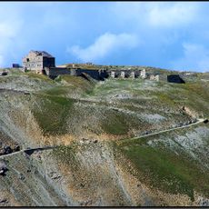
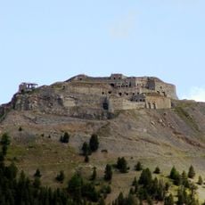
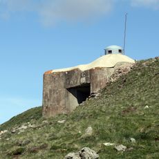
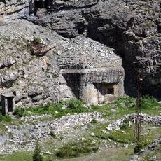
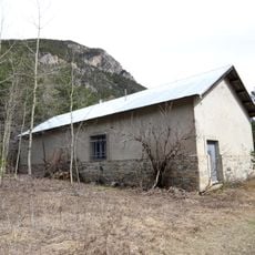
During the 19th century, military forces constructed Fort du Gondran at the summit with batteries and bunkers to defend the Briançon heights. These fortifications reflect the strategic importance of this location during that era.
The mountain paths feature traditional larch wood signage that reflects local alpine heritage and its connection to surrounding forest resources. Visitors can observe these handcrafted details while walking through the landscape.
The ascent typically requires about 4 to 5 hours of hiking with an elevation gain of roughly 570 meters (1,870 feet). The terrain is exposed to alpine conditions, so visitors should bring weather-resistant gear and proper mountain boots.
The location marks where multiple water sources meet, including the origins of the Durance River and the Villard mountain stream. This hydrological feature makes the summit a significant point in the region's water system.
The community of curious travelers
AroundUs brings together thousands of curated places, local tips, and hidden gems, enriched daily by 60,000 contributors worldwide.