Monte Gimont, Summit in the Cottian Alps at Provence-Alpes-Côte d'Azur and Piedmont, France and Italy.
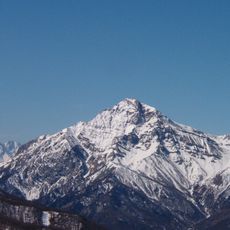
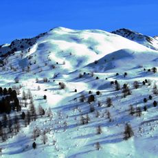
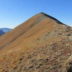
Monte Gimont is a mountain summit in the Cottian Alps located on the border between France and Italy, reaching 2646 meters in elevation. The peak sits within the Queyras range and creates a clear natural divide between the two countries' alpine territories.
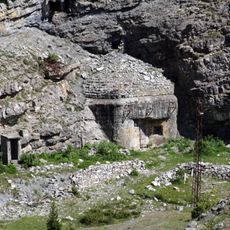
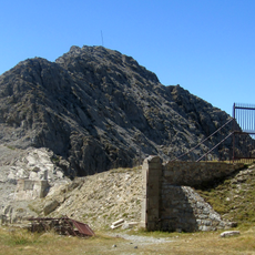
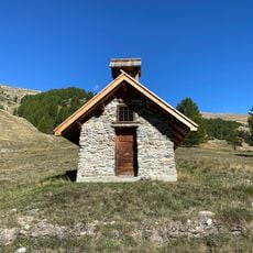
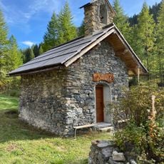
The mountain served as a crossing point on ancient trade paths that linked French and Italian alpine communities, enabling trade and cultural exchange across the region. These historic routes continue to influence modern hiking trails in the area.
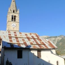
Local herders guide their flocks through the high meadows each summer, keeping alive pastoral practices that have shaped this mountain region. This way of life remains visible in how the landscape is managed and used throughout the season.
Several marked trails ascend to the summit, with the main starting points at the villages of Montgenèvre and Clavière on the French side. Plan your hike during warmer months when snow cover is minimal and paths are more easily walked.
From the peak, visitors can observe two distinctly different slope profiles: the western French face descends gradually while the eastern Italian face drops steeply with exposed rock. This contrast reveals how geological processes have shaped the mountain differently on each side.
The community of curious travelers
AroundUs brings together thousands of curated places, local tips, and hidden gems, enriched daily by 60,000 contributors worldwide.