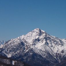
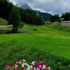
Punta Clotesse, Mountain summit in Cottian Alps, France and Italy.
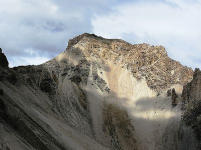
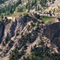
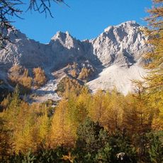
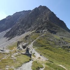
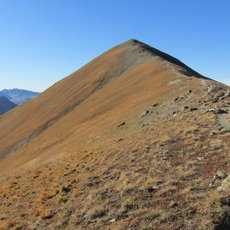
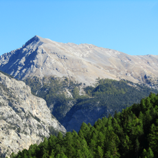
Punta Clotesse is a mountain summit on the French-Italian border in the Cottian Alps, rising above 2800 meters and featuring steep, jagged slopes with exposed rock faces. The rock walls display different layers and natural formations that shape the rugged profile of the peak and allow ascent through several possible routes.
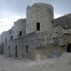
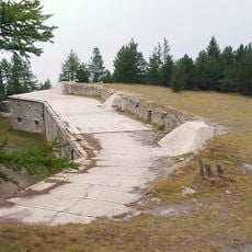
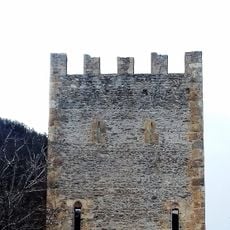
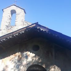
The summit developed military fortifications following border conflicts, with remains of barracks and underground bunkers that show the strategic importance of the region. These structures date from periods when national boundaries were carefully monitored and negotiated at high elevations like this.
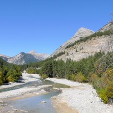
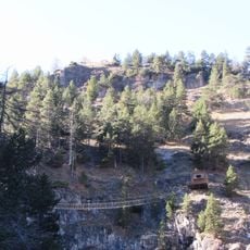
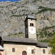
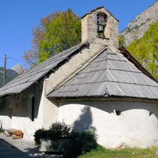
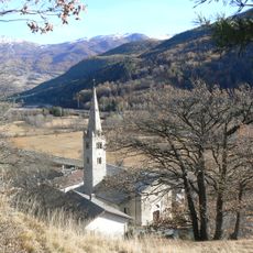
The mountain has long served as a natural boundary between valleys and communities on either side, shaping how people from different regions interact and trade. Local shepherds have used these slopes for centuries, following seasonal paths that connect pastures in ways that reflect the mountain's role in daily life.
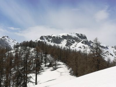
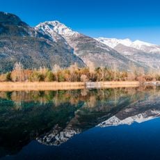
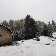
The best time to climb is between May and October, when weather is stable and snow coverage remains low. Multiple marked trails lead up from different valley points, with the route from Oulx being easily accessible and allowing hikers of varying fitness levels to make progress.
Visitors will notice rock patterns during the climb that show how different mineral compositions are layered and deformed by ancient tectonic forces. These visible strata tell a geological story spanning millions of years that visitors often overlook.
The community of curious travelers
AroundUs brings together thousands of curated places, local tips, and hidden gems, enriched daily by 60,000 contributors worldwide.