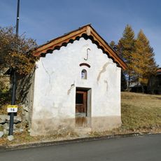
Pointe de Pécé, Alpine summit in Hautes-Alpes, France
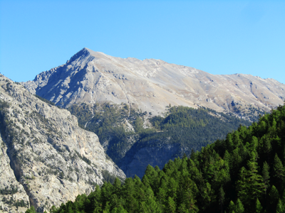
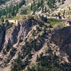
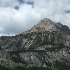
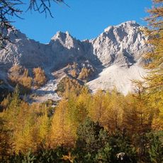
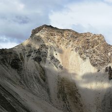
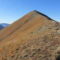
Pointe de Pécé is an alpine peak in the Cottian Alps, reaching 2733 meters within the Cerces massif and featuring a mix of rocky faces and grassy slopes. The terrain transitions between exposed rock ridges on one side and gentler terrain on the other, creating varied conditions for ascending.
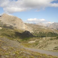
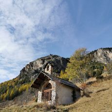
Early 20th century shepherds created the paths leading to this peak while moving flocks through high alpine pastures in the region. These traditional routes were later adopted and expanded upon by mountaineers and hikers seeking access to the summit.
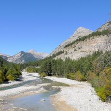
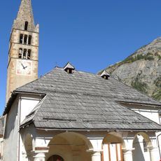
The ascent to this summit follows traditional alpine routes that have connected mountain villages for generations through pastoral and hiking traditions. These paths reveal how people in the region have historically moved through and used the high mountain landscape.
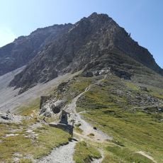
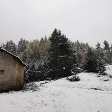
The route involves varied terrain including rocky sections and grassy slopes, requiring sturdy footwear and a steady footing throughout the climb. Mountain weather can change rapidly at this elevation, so preparation for sudden temperature shifts and possible low visibility is important.
Hikers have built stone cairns over the decades to mark the way for others, so hundreds of small stone towers dot the route and ridge. These markers are remade and adjusted seasonally, making them an evolving landmark that reflects ongoing use of the mountain.
The community of curious travelers
AroundUs brings together thousands of curated places, local tips, and hidden gems, enriched daily by 60,000 contributors worldwide.