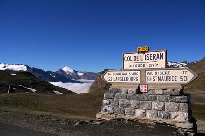
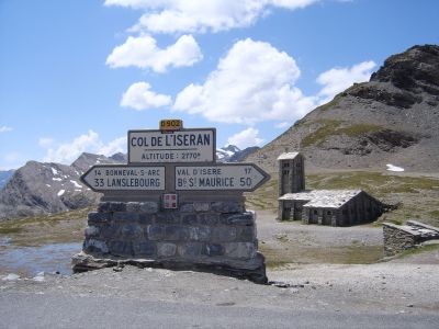
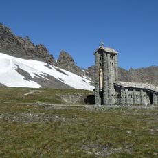
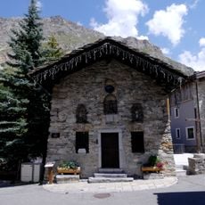
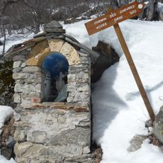
Col de l'Iseran, Mountain pass and viewpoint in Vanoise Mountains, France
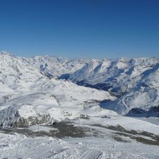
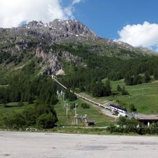
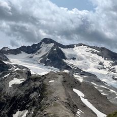
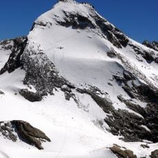
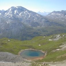
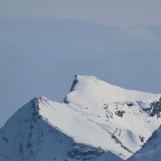
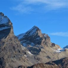
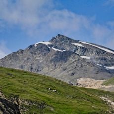
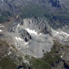
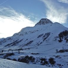
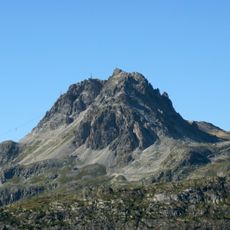
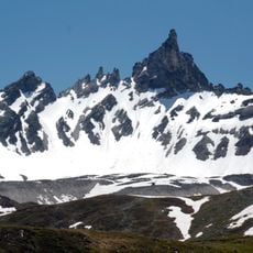
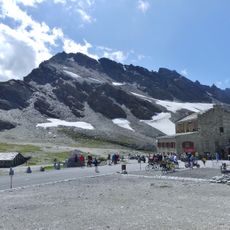
Col de l'Iseran is a mountain pass in the Vanoise Mountains reaching 2,764 meters elevation and stands as the highest paved pass in the French Alps. The road winds through steep slopes and offers expansive views across the surrounding alpine landscape on clear days.
The pass was officially inaugurated in 1937 and created a vital transportation link between Val-d'Isère and Bonneval-sur-Arc. This route enabled the first year-round connection between these two previously isolated Alpine valleys.
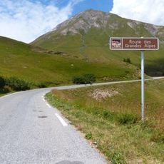
The pass forms part of the Route des Grandes Alpes, which links Lake Geneva to the Mediterranean Sea through a network of mountain roads. The connection allows people living in isolated Alpine valleys to reach distant regions more easily.
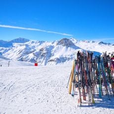
The pass is only passable from June through September, as winter snow closures make the road inaccessible during other months. Visitors should travel in the morning and watch weather conditions carefully, since conditions at this elevation can change quickly.
The approach from the north is notorious among cyclists as one of the longest and most demanding climbs in Europe. For serious cyclists, this route presents a true test of endurance with consistently steep sections.
Location: Val-d'Isère
Location: Bonneval-sur-Arc
Official opening: July 10, 1937
Elevation above the sea: 2,764 m
Accessibility: Wheelchair accessible
Part of: Route des Grandes Alpes
Address: Col de l'Iseran, 73480 Bonneval-sur-Arc, France
GPS coordinates: 45.41712,7.03084
Latest update: December 6, 2025 22:05
Route des Grandes Alpes
4.2 km
Tignes - Val d'Isère
6.8 km
Funival
7 km
Grande Aiguille Rousse
6.4 km
Sources de l'Isère Glacier
6.2 km
Grand Pisaillas Glacier
2.8 km
Chapelle Notre-Dame de Toute-Prudence
71 m
Tsanteleina
7 km
Église Notre-Dame-de-l'Assomption de Bonneval-sur-Arc
5.2 km
Réserve naturelle nationale de la Bailletaz
5.3 km
Aiguille Pers
3.3 km
Punta Calabre
7.1 km
Signal of Iseran
1.9 km
Église Saint-Bernard-des-Alpes de Val-d'Isère
5.1 km
Chapelle Sainte-Marguerite de Bonneval-sur-Arc
6.1 km
Chapelle Saint-Barthélémy de Bonneval-sur-Arc
3.8 km
Chapelle Saint-Antoine de Bonneval-sur-Arc
5.2 km
Chapelle Saint-Sébastien de Bonneval-sur-Arc
5.1 km
Bailletaz's summit
5.9 km
Tête du Solaise
3.4 km
Old Bridge
6 km
Oratoire Saint-Gras de Bonneval-sur-Arc
5.3 km
Rocher du Charvet
6 km
Bellevarde's rock
7 km
The Dome peak
6.2 km
Pointe des Lessières
657 m
Chapelle Saint-Roch de Val-d'Isère
5.2 km
Oratoire Saint-Sébastien de Bonneval-sur-Arc
5.1 kmVisited this place? Tap the stars to rate it and share your experience / photos with the community! Try now! You can cancel it anytime.
Discover hidden gems everywhere you go!
From secret cafés to breathtaking viewpoints, skip the crowded tourist spots and find places that match your style. Our app makes it easy with voice search, smart filtering, route optimization, and insider tips from travelers worldwide. Download now for the complete mobile experience.
A unique approach to discovering new places❞
— Le Figaro
All the places worth exploring❞
— France Info
A tailor-made excursion in just a few clicks❞
— 20 Minutes