Tsanteleina, Mountain summit on the France–Italy border, Savoie and Aosta Valley
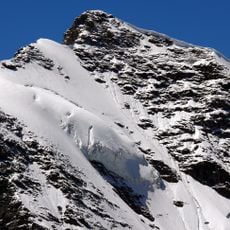
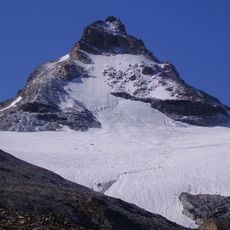
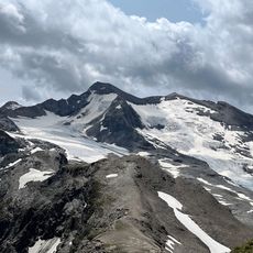
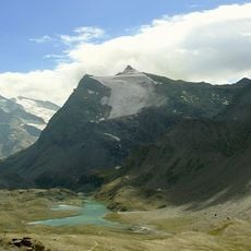
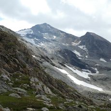
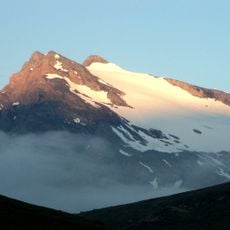
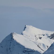
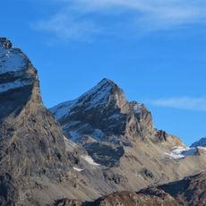
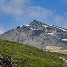
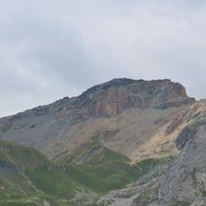
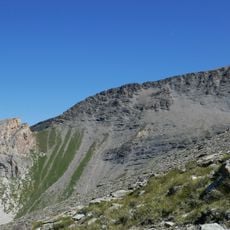
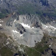
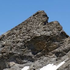
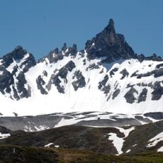
Tsanteleina is a pyramidal summit of the Graian Alps rising to 3,601 m on the border between Savoie, France, and the Aosta Valley, Italy. Its north side holds a snow slope running down to the Colle della Tsanteleina, which separates it from the Pic de Golette (3,245 m). The upper slopes are snow-covered, with dark grey and brown rock faces and narrow snowfields streaking down the gullies below the snowline.
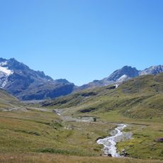
The sources record no date for the first ascent of Tsanteleina. The mountain's name comes from the Valdostan patois word tsantì, meaning a small hill. Its Italian side rises at the head of the Rhêmes Valley, while the French side overlooks the Val d'Isère; the eastern flank lies within Gran Paradiso National Park.
The name comes from the Valdostan patois word tsantì, meaning a small hill. On the Italian side the summit stands at the head of the Rhêmes Valley but is hidden from view within the valley itself; on the French side it overlooks the Val d'Isère.
Access to the summit requires following the northern route, as southern paths have deteriorated rock conditions. Visitors should be prepared for alpine conditions and steep descents.
The summit itself is hidden from view at the head of the Rhêmes Valley, so the peak only appears once climbers gain height. The name comes from tsantì, Valdostan patois for a small hill. A snowy slope on the north side drops to the Colle della Tsanteleina, separating it from the Pic de Golette (3,245 m).
The community of curious travelers
AroundUs brings together thousands of curated places, local tips, and hidden gems, enriched daily by 94,032 contributors worldwide.