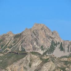
Rocher de la Davie, Mountain summit in Vanoise Massif, France
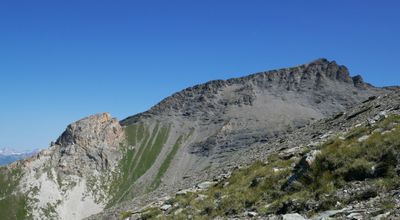
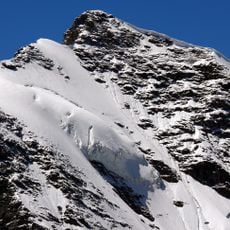
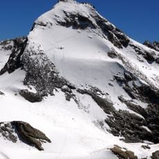
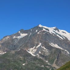
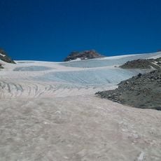
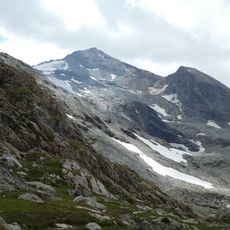
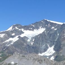
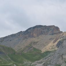
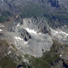
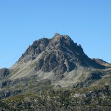
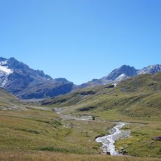
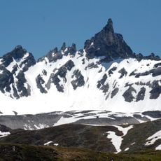
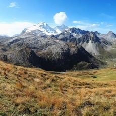
Rocher de la Davie is a mountain summit in the Vanoise Massif located in the Haute-Tarentaise region at roughly 3087 meters elevation. The peak features steep slopes and exposed ridges that are surrounded by extensive snowfields during most of the year.
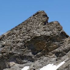
The peak received its first documented winter ascent in the early 20th century when local guides established routes to the challenging northern faces. These early explorations set the foundation for development of the summit as a climbing destination in the region.
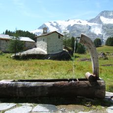
Local mountaineers gather annually at Rocher de la Davie to maintain traditional climbing techniques and share knowledge about alpine navigation methods.
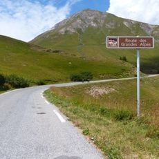
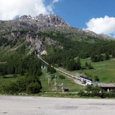
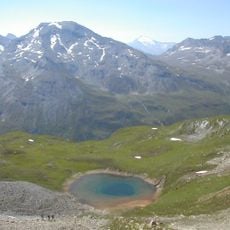
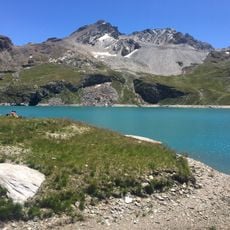
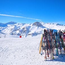
Climbers access the peak from Le Villaret des Brévières following a marked route with roughly 1560 meters of elevation gain over about 12 kilometers. The ascent is most straightforward during warmer months when snowfall decreases and the routes become more accessible.
The summit accumulates more snow than neighboring peaks due to its specific position within the massif. This extra snowfall creates distinctly different winter climbing conditions compared to surrounding mountains and demands specialized climbing techniques.
The community of curious travelers
AroundUs brings together thousands of curated places, local tips, and hidden gems, enriched daily by 60,000 contributors worldwide.