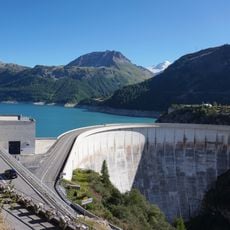
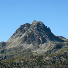
Aiguille de la Grande Sassière, Mountain peak in Savoie and Aosta Valley, France and Italy
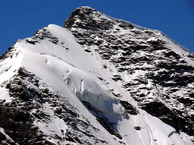
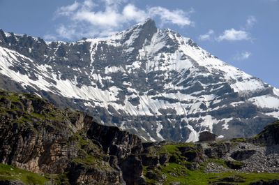
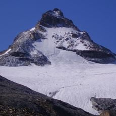
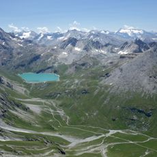
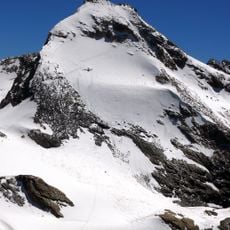
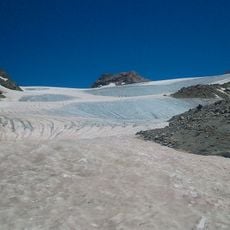
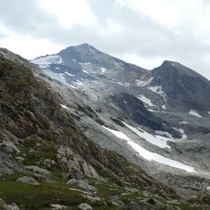
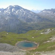
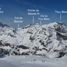
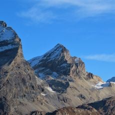
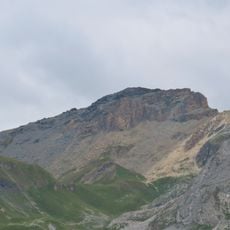
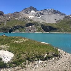
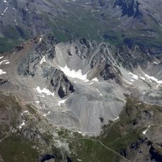
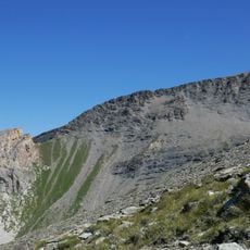
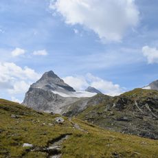
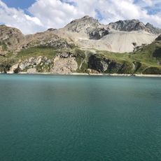
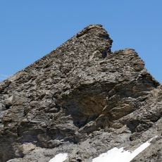
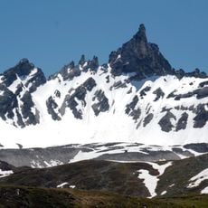
Aiguille de la Grande Sassière is a peak on the border between Savoie and Aosta Valley that rises to 3751 meters and presents different appearances from various viewpoints. Its notable north wall remains snow-covered much of the year, while the southern face drops steeply with exposed rock formations.
The first documented ascent took place in 1860 by renowned mountaineers who contributed to scientific exploration of this Alpine region. These early expeditions opened the peak to further climbers and increased knowledge of the local mountain landscape.
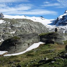
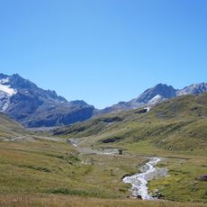
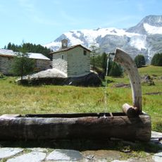
Local residents in the valleys on both sides of the border have long viewed this peak as a boundary marker and natural landmark in their mountain landscape. The shared climbing heritage has created traditions that connect communities across the frontier.
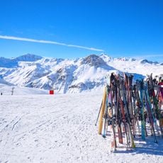
The ascent requires technical climbing skills and experience in alpine terrain, making a local guide advisable for most visitors. The best season runs from June through September when conditions are safest and routes are most accessible.
The summit sits directly on the border and belongs to both countries simultaneously, making it a rare geographic phenomenon. This dual belonging has historically created interesting legal and mapping questions.
Location: Sainte-Foy-Tarentaise
Location: Tignes
Location: Valgrisenche
Elevation above the sea: 3,751 m
Part of: France–Italy border, drainage divide between the Adriatic and Mediterranean seas
GPS coordinates: 45.50500,6.99984
Latest update: December 12, 2025 07:53
Route des Grandes Alpes
6.5 km
Tignes Dam
5.4 km
Tignes - Val d'Isère
5.9 km
Funival
5.8 km
La Folie Douce Val d'Isère - Tignes
6.9 km
Granta Parey
5.3 km
Réserve naturelle nationale de la Grande Sassière
2.2 km
Tsanteleina
4.6 km
Rhêmes-Golette Glacier
4.2 km
Becca della Traversière
3.6 km
Réserve naturelle nationale de la Bailletaz
5 km
Aiguille de la Grande Traversière
4.8 km
Punta Calabre
6.8 km
Église Saint-Bernard-des-Alpes de Val-d'Isère
6.5 km
Picheru's summit
3.3 km
Lac de la Sassière
2.6 km
Église Saint-Jacques en Tarentaise de Tignes
5.8 km
Bailletaz's summit
4.2 km
Tête du Solaise
8.2 km
Ambienti calcarei d'alta quota della Valle di Rhêmes
5.8 km
Ambienti d'alta quota della Valgrisenche
4.2 km
Rocher de la Davie
3.1 km
Lac de la Sassière
2.6 km
Aiguille de la Petite Sassière
906 m
Bellevarde's rock
7.7 km
Ruisseau de la Sassière
3.3 km
Le Monal
8.2 km
The Dome peak
4.2 kmVisited this place? Tap the stars to rate it and share your experience / photos with the community! Try now! You can cancel it anytime.
Discover hidden gems everywhere you go!
From secret cafés to breathtaking viewpoints, skip the crowded tourist spots and find places that match your style. Our app makes it easy with voice search, smart filtering, route optimization, and insider tips from travelers worldwide. Download now for the complete mobile experience.
A unique approach to discovering new places❞
— Le Figaro
All the places worth exploring❞
— France Info
A tailor-made excursion in just a few clicks❞
— 20 Minutes